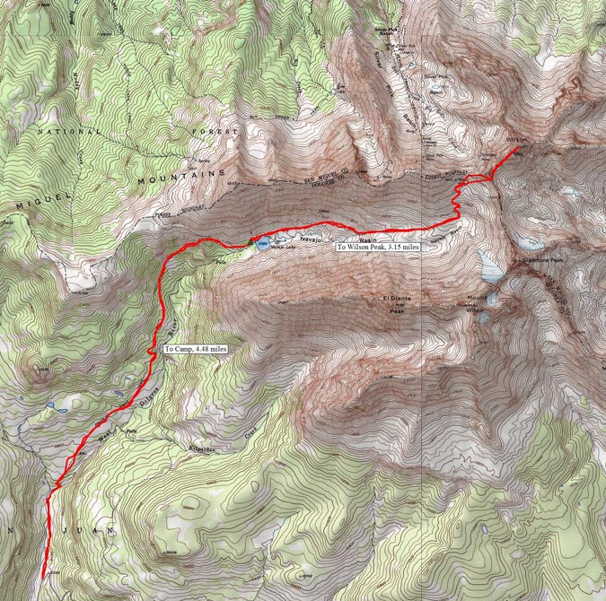
Fourth of July weekend always provides a tremendous opportunity for mountaineering, and this year was no different for me. Early in the year (January), I was eagerly planning my summer's climbs and saw this weekend and knew it would be both tremendous and controversial. You see, my wife's birthday is July 3rd. I begged her to allow me to climb on this weekend, knowing that it would probably be the only way I would be able to successfully complete the 14ers this year, which was my goal. My wife was really cool about it and said I could go. With that being said, I knew that the perfect match for this date range would be the Wilsons (Wilson Peak, El Diente and Mount Wilson). I set aside a total of 5 days for the trip and hoped I would not need all 5 days, but knew that weather could necessitate the use of all 5 days. My climbing partner, Regina and I roughly sketched what we thought would work best earlier in the year and when June 30th finally arrived, we were both excited to get out of town and up into the mountains! The plan was to drive to the Navajo Lake trailhead on June 30th and camp there, backpack up to Navajo Lake on July 1, establish camp, climb Wilson Peak and go to bed. After this, on July 2, we would do El Diente via the North Slopes route in the snow and then traverse over to Mount Wilson. This would leave July 3 for completing Gladstone Peak (a centennial 13er) and for the hike out. It even factored in one extra day for weather or for kicking it in Telluride for a bit.
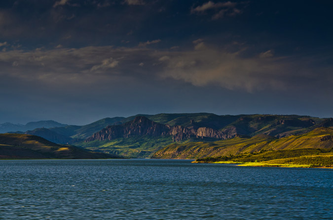
So, with all that being said, Regina and I embarked for the Telluride area, a good 300 miles away. We drove through the Blue Mesa Reservoir area during dusk, and I was able to get one decent photo from the car while Regina was driving. I have always really enjoyed that part of the drive and someday I'll time it just right to get a gorgeous sunset photo there. Until then...
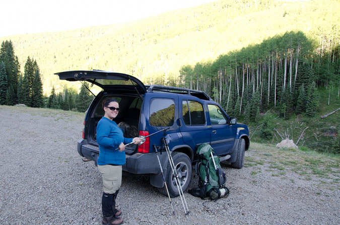
The plan unfolded perfectly and before we knew it we had arrived at the trailhead for Navajo Lake at around midnight. We set-up camp away from the trailhead and set the alarm for 7 AM since we were looking at a good 4.5 miles or so to the lake and an additional 8 miles to Wilson Peak and back to the lake for our itinerary. The alarm went off and we sprang out of the tent and packed up quickly, eager to hit the trail. The weather was absolutely fantastic. This week, I decided to try something I've never done before and pack my tripod with me. While this added some additional weight, it would allow me to get some great photos at Navajo Lake and even try my hand at some more star trails photography.
The Navajo Lake trail was really quite fantastic - it weaves in and out of huge groves of corn lilies (Veratrum Californicum), but I like to refer to them as Indian Toilet Paper since back when I taught Leave No Trace we would always use them for, ahem, wiping.
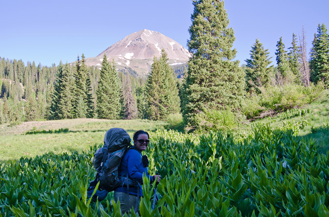
Pretty quickly, the trail leads you up the long meadows and into view of El Diente, which by the way was one of the most deadly mountains last year.
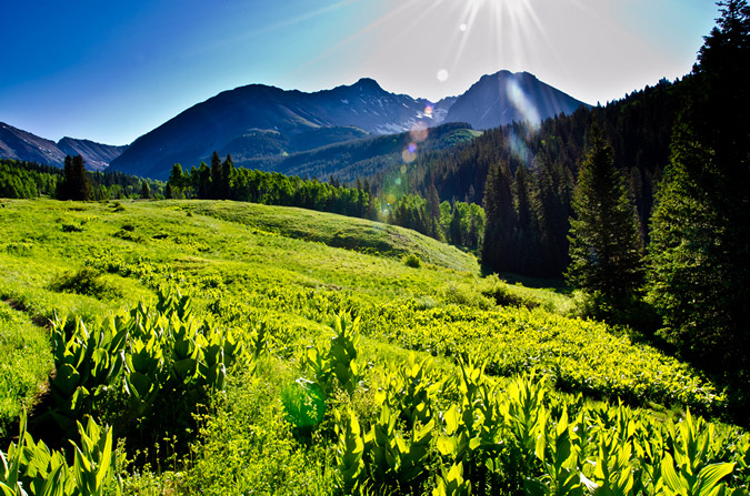
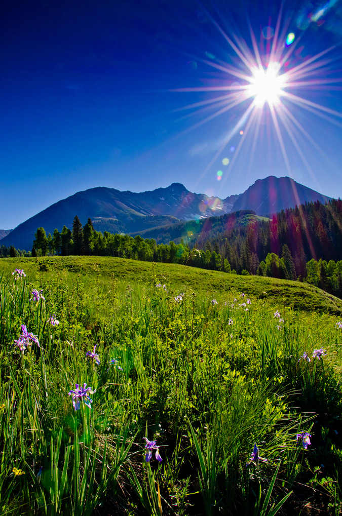
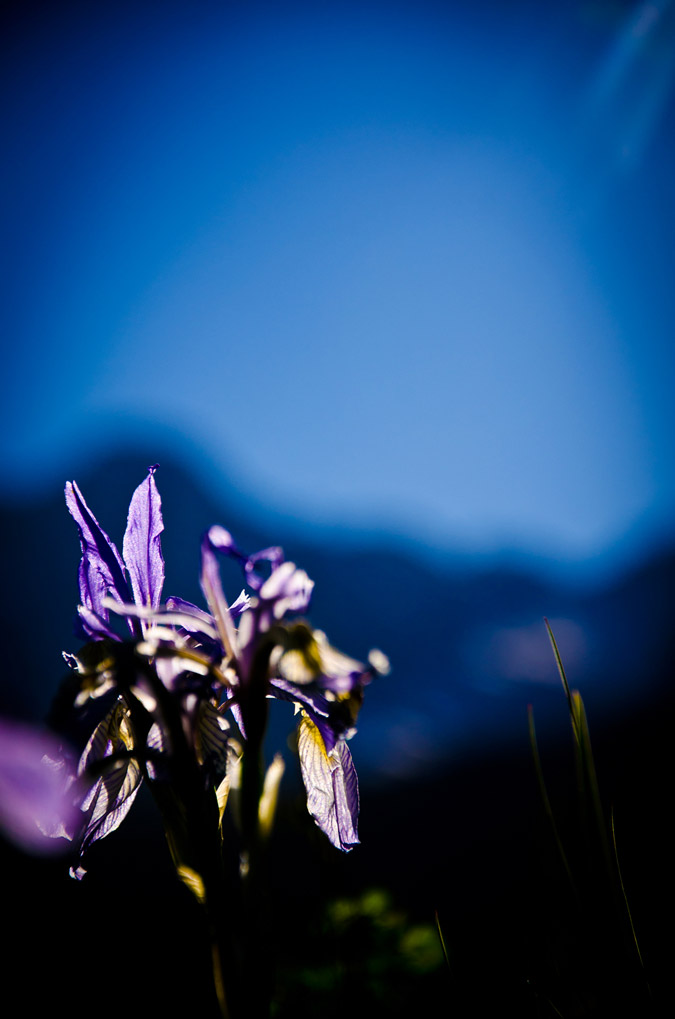
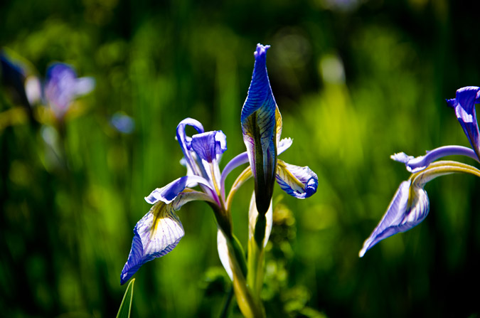
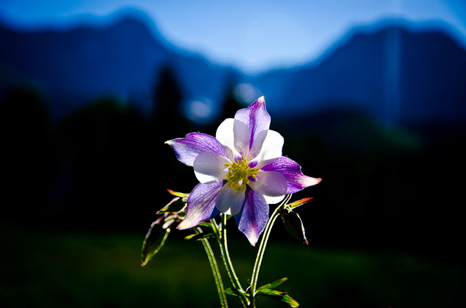
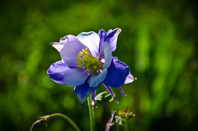
The whole area was covered in those corn lilies and wildflowers, which slowed me down a bit due to me wanting to take a ton of photos. I think I have a serious photography problem or something... what do you think?
 |
 |
 |
 |
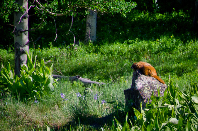
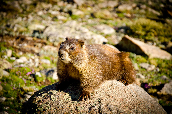
Naturally, a hike in the San Juans and the Lizard Head Wilderness Area are not complete without a sunbathing marmot!
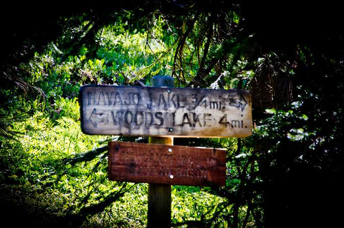
The trail kept winding up towards Navajo Lake and eventually we reached the trail junction for Woods Lake.
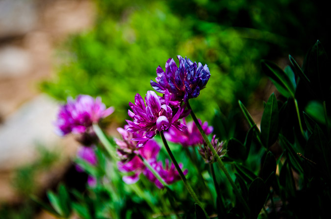
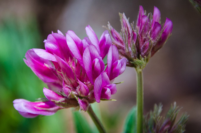
The closer we got to the lake, the more vibrant and ubiquitous the wildflowers became and I could not help but take more photos. What can I say, I'm a sucker.
A mere 3 hours later we finally arrived at Navajo Lake. The view of the lake and Gladstone Peak was absolutely stunning.
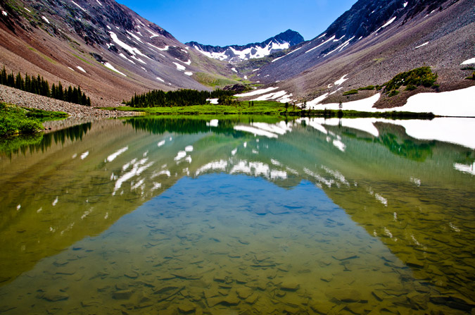
We were able to establish camp about 300 feet away from the lake up on a small plateau - it was an absolute gem of a campsite. After setting up our tent and getting everything else situated, we packed up our daypacks and headed on up the trail with the objective of Wilson Peak in mind. Our departure time was 12 PM. Normally, I would not attempt to climb a mountain so late in the day, but the weather was superb and I knew the forecast was totally clear, so we opted to give it a shot. Worst case scenario, we could always head back down to the lake if the weather turned on us.
Now, Wilson Peak has never held much status in my mind, purportedly being the easiest of the group's 14ers, so I never did much research on the route. Sure, I read the route description and printed off a few photos and paragraphs, but I felt pretty confident that it would be a fairly easy climb. Boy - I was really pleasantly surprised and wrong about that assumption, as you'll read later on.
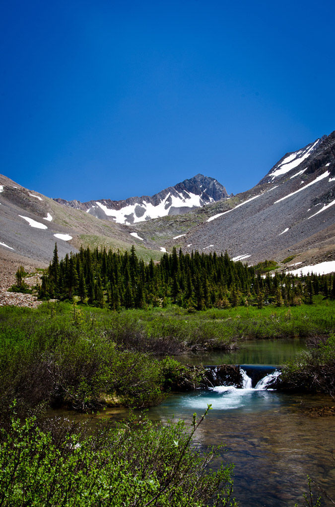
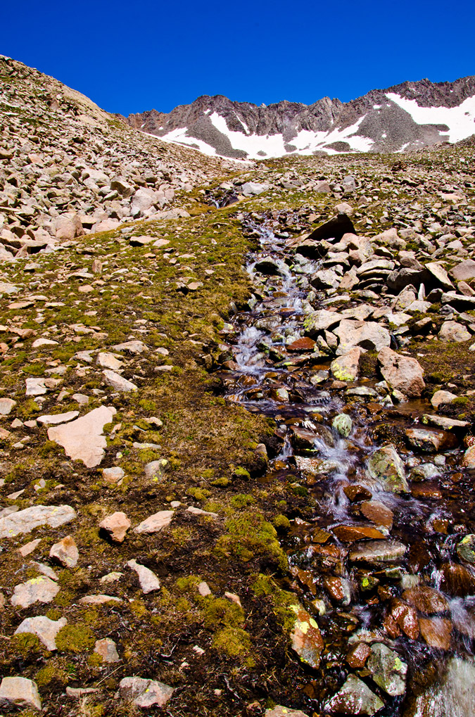
The hike up into Navajo Basin was really enjoyable from the lake.
 |
 |
After awhile, the trail finally brought us even with El Diente to our right, the view of the North Slopes route came into view nicely. Mount Wilson sits at the top of the basin, right of Gladstone Peak, and is connected to El Diente by a massive, spiny ridge, as seen in the below pano.

Additionally, the blue hues of Navajo Lake kept me looking back, enjoying the vistas of the valley.
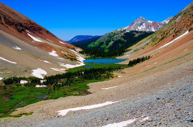
The trail was not terribly steep but it did weave in and out of large snowfields, making it a bit more interesting but nothing too dicey, so far.
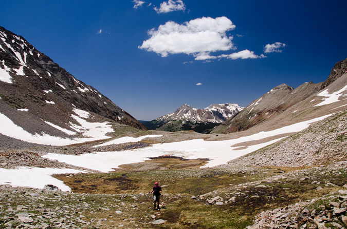
Finally, we reached the headwall that leads to the Wilson Peak - Gladstone Peak saddle beneath the Rock of Ages Mine, which required us to head up a giant snowfield. The snow was quite firm and easy to hike through.
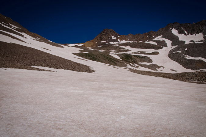
I was feeling really good and had gained a bit of distance between Regina and I, so I periodically stopped to let her catch up.
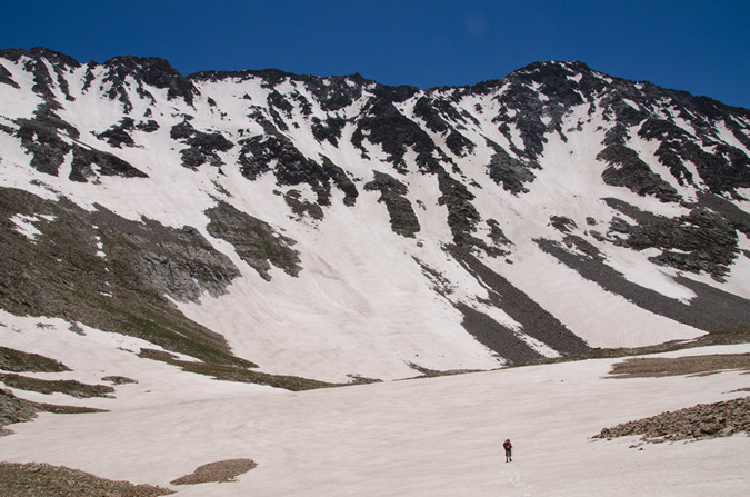
The snow in the North Slopes Couliour for El Diente looked superb and I was a bit excited to see how that would work out on the following day.
At 2:30 PM, we both reached the Rock of Ages mine, which felt quite like something out of the 1800's. An old wooden mine shack still sits on the mountainside along with a small wooden bench, a mining cart and some other odds and ends.
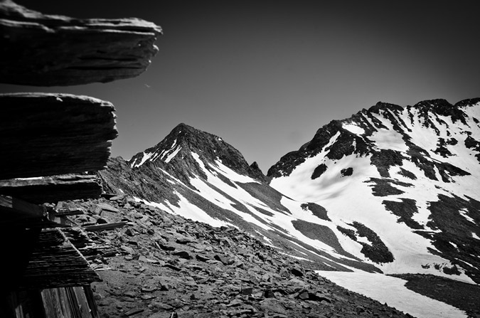
We rested at the mine, ate some food and discussed the next steps. The trail continued on up towards the Rock of Ages saddle to our left, but I knew from reading the route description that the trail winds back across the mountain just above the mine itself, so I figured it would be a good opportunity for some off-route exploring up through some easy class 2 boulders above us to the Wilson Peak - Gladstone Peak saddle.
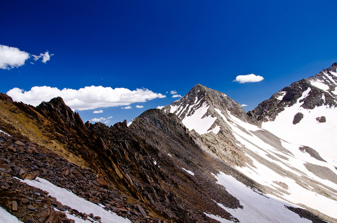
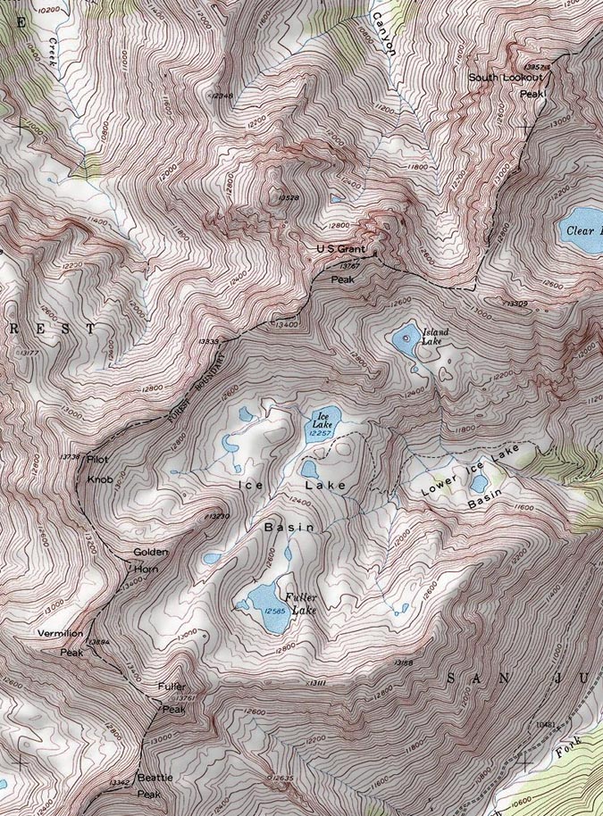
Personally, this terrain is a playground for me - the rock was somewhat loose but not too crazy, and it was fairly obvious which rocks were stable and where you needed to go. Regina on the other hand, not having grown up climbing off-route like me, felt a little less comfortable on the boulder field and was starting to have some doubts about the rest of the climb. I assured her that she would be fine and that she needed to treat the rocks with respect, expect that they will move, and be nimble about her movements. Eventually we made it up to the saddle without incident and were greeted by the first insane views of the day to our east. A cornicopia of San Juan mountains laid before our eyes and I was excited to finally get views of Lizard Head Peak, Fuller Peak, Vermillion Peak, Golden Horn, Pilot Knob, U.S. Grant Peak and South Lookout Peak, which all rest at the head of Ice Lake Basin - one of the most gorgeous locations in Colorado. Can you identify them all?
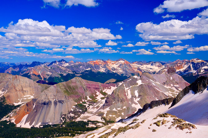
Here, let me help you!

Of particular awesomeness was the view of Lizard Head Peak, which will likely forever rest on my unclimbed list!
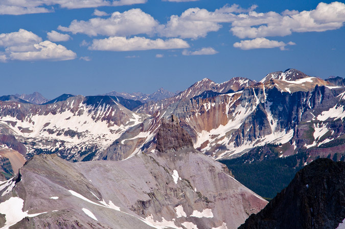
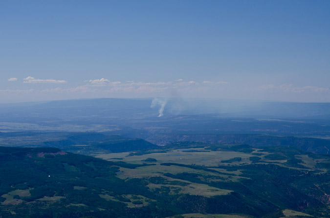
At this point, Regina and I had to make a decision. The weather was great. Barely any clouds in any direction. But - Wilson Peak was still a long ways off and it was already 3:30 PM. I still felt strong but Regina was fairly demoralized by how far away Wilson Peak looked still. From the saddle Wilson Peak was still a half mile away and a good 600 feet up across insane snowfields and rotten rock. I encouraged Regina to give it a shot with me, so we did. Right off the bat, we were greeted by a pretty intense snow field at the base of a cliff that was quite run-out, meaning, if you fell down, you were going to travel a long way down and probably die. We deployed our ice axes and secured our helmets and crossed, using extreme caution. Soon, a second and then a third snow field of equal danger were presented to us as well as crumbling rock and difficult trail-finding. Regina became really sketched out by the whole thing and decided that it was as far as she would travel and told me to keep going and that she would wait there. I was fine with that idea, so I continued on. I'm not going to lie - I was not mentally prepared for this climb. I thought Wilson Peak would be a walk in the park. Having much of the route obscured by steep and dangerous snow that had softened considerably throughout the day, my mountaineering skills were certainly challenged. The route before the false summit was chossy at best, with huge loose boulders cascading above and below me on a regular basis. Oddly enough, I was calm in this environment. I have an odd knack for loose rock and when my footholds and handholds gave way, I went with it, almost like walking onto an escalator. I chose my route carefully enough so that I could avoid the larger messes, but a few rocks did manage to take huge chunks of flesh out of my finger and hand. No worries though, the bleeding stopped quickly and I didn't even stop to apply a bandage. All in a days work. I was finally able to reach the ridgeline that connects to the false summit, and was able to catch views of a small wildfire that had broken out to the north-west of me.
Of even more interest at the time, Wilson Peak's daunting summit block stood before me like some ancient pyramid. Again I found myself thinking - wow - really? I never expected this much awesomeness from this mountain. I was excited. Was this going to turn into a class 4 scramble? I sure hoped it did! The exposure looked inviting, but the rock was crumby and resembling of tiny pinnacles. I knew that I needed to choose my route carefully. The route description from 14ers.com stated that there was two ways to skin this cat - go left and downclimb to some safer class 3 sections, or continue on the ridge and challenge yourself with some nuts class 4 stuff. I chose the class 4 stuff and it did not disappoint me in the least.
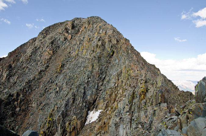
In the interest of weight and balance, I decided to take a huge drink of gatorade and leave my pack on the false summit, bringing along my camera, which was attached to my chest by my new Lowepro Toploader bag. Yes, I realize that I broke one of the key tenets of mountaineering by leaving my pack behind, but I still feel it was the best decision.
After carefully finding my way down and through the class 4 section, I reached the summit at 4:50 PM. I was still feeling great. Naturally, the views were absurd and rediculous - in a good way of course! Sneffles towered to the north-east alongside all of her insanely shaped neighbors. All-in-all I would rate the Wilson Peak views as a 8 or 8.5. Pretty amazing.
Sneffles and her friends:
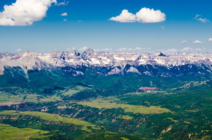

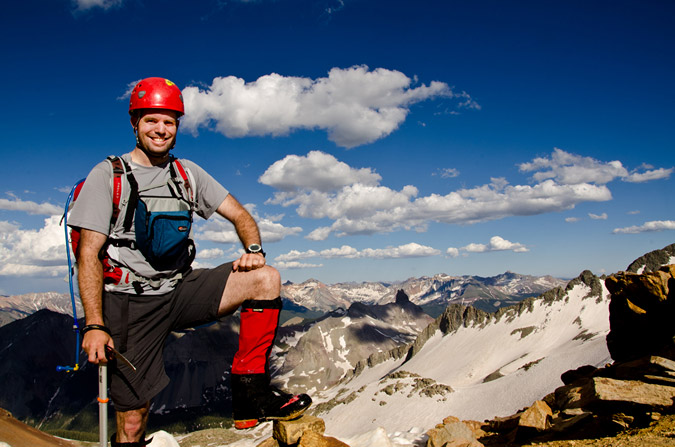
I was able to set my camera up to take a quick self-timer too - how fun.
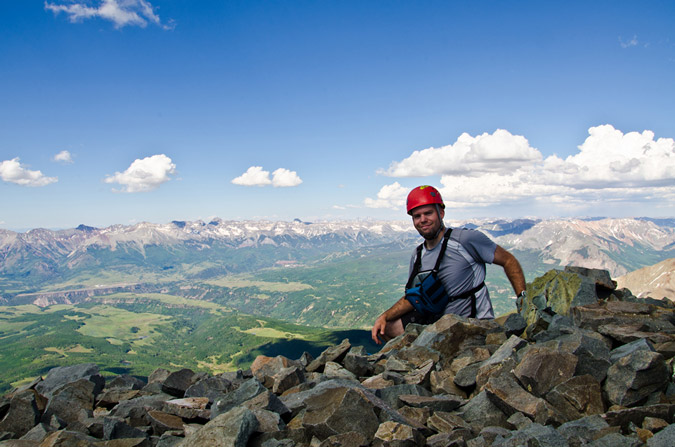
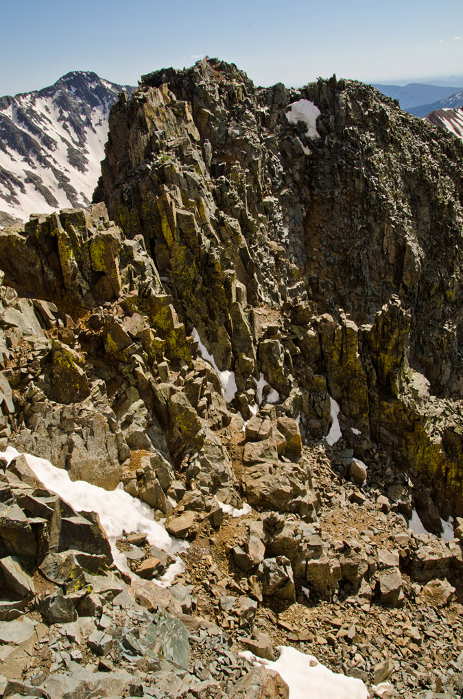
I figured with Regina waiting below, I should get off the summit pretty quickly, and so I did, leaving at 5:03 PM. In the distance, I spotted my pack and I thought it was neat to see the nastiness of the downclimb I did earlier as well as my pack for a dose of perspective. I basically went straight down from where my pack was at.
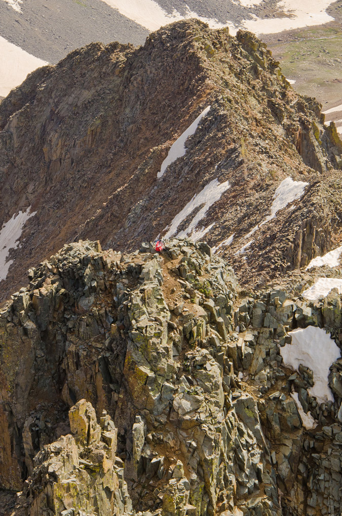
Zoomed out, you can see that the saddle where Regina was waiting for me was a long ways off. I believe she was waiting for me just where the snow was starting to end.
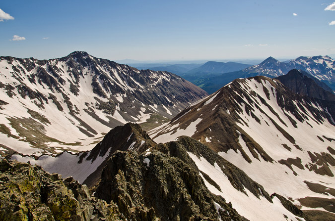
Another view of the climb back up to the false summit from Wilson Peak with my backpack at the top:
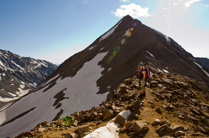
The downclimb back to Regina went much faster and I was able to reach her in just 30 minutes from the summit. She had safely crossed back to the saddle and had waited for me there. She also took a shot of me on the Gladstone Peak - Wilson Peak saddle:
We opted to head back down the standard way to the Rock of Ages Saddle and had a long conversation on the way down. I knew that Regina was probably feeling pretty bummed about not getting to the top of Wilson Peak, especially after the absolute disaster that was our Snowmass Mountain attempt the week prior. I was pretty proud of the way Regina handled this situation. We talked about how this type of climbing just was not fun for her and that if she was feeling uncomfortable on the rock that it was not worth getting killed just to check off a box on a list. I knew that Regina had a strong goal to finish the 14ers this year, but I think she has a much richer appreciation for mountaineering and all of its challenges. I think that in time she will grow more and more comfortable on class 3 and class 4 climbs, and will complete the 14ers; however, there's no sense in getting killed because you don't feel comfortable! Kudos to Regina for having a clear mind about this issue. All too many climbers lose sight of this important perspective in their quest for glory.
The Rock of Ages Saddle proved to be a nice location to capture a nice panoramic of the Navajo Basin, with Gladstone Peak (center) at the head and continuing on down the ridge to El Diente.

We took pause back at the Rock of Ages Mine for some good 'ol fashioned mining fun. Regina took a more conservative approach to her mining pose:
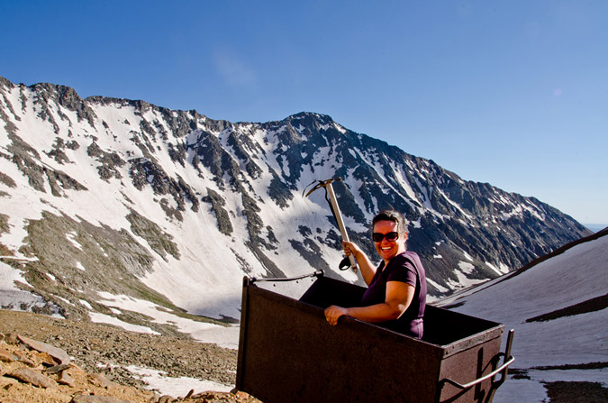
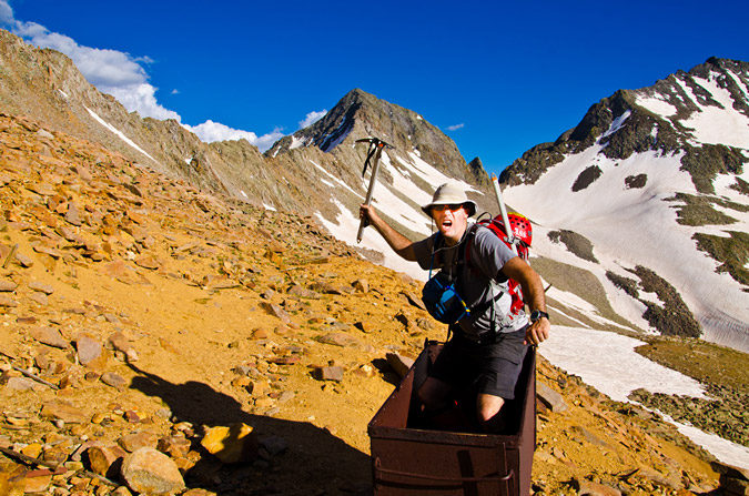
But... I was still pumped from doing Wilson Peak, plus I wanted to give my best Miner-49-er impression! I think the result was more of a hybrid between pirate and crazy guy...
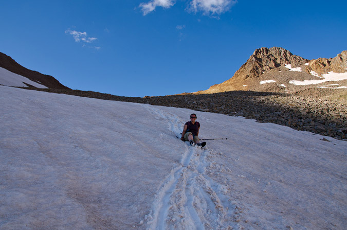
Cruising back down the Navajo Basin was quite fun since the snow had softened up just enough for some glissading and boot skiing.
However, the sun was beginning to set, and my photographic funny bone started to shake. I knew that the Golden Hour was approaching and that there would be some amazing opportunities for some killer shots soon.
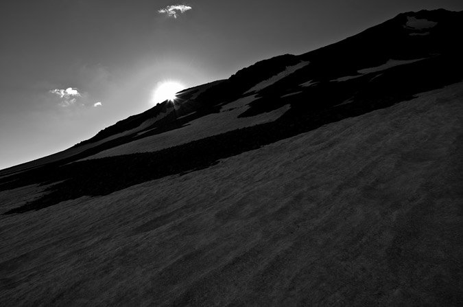

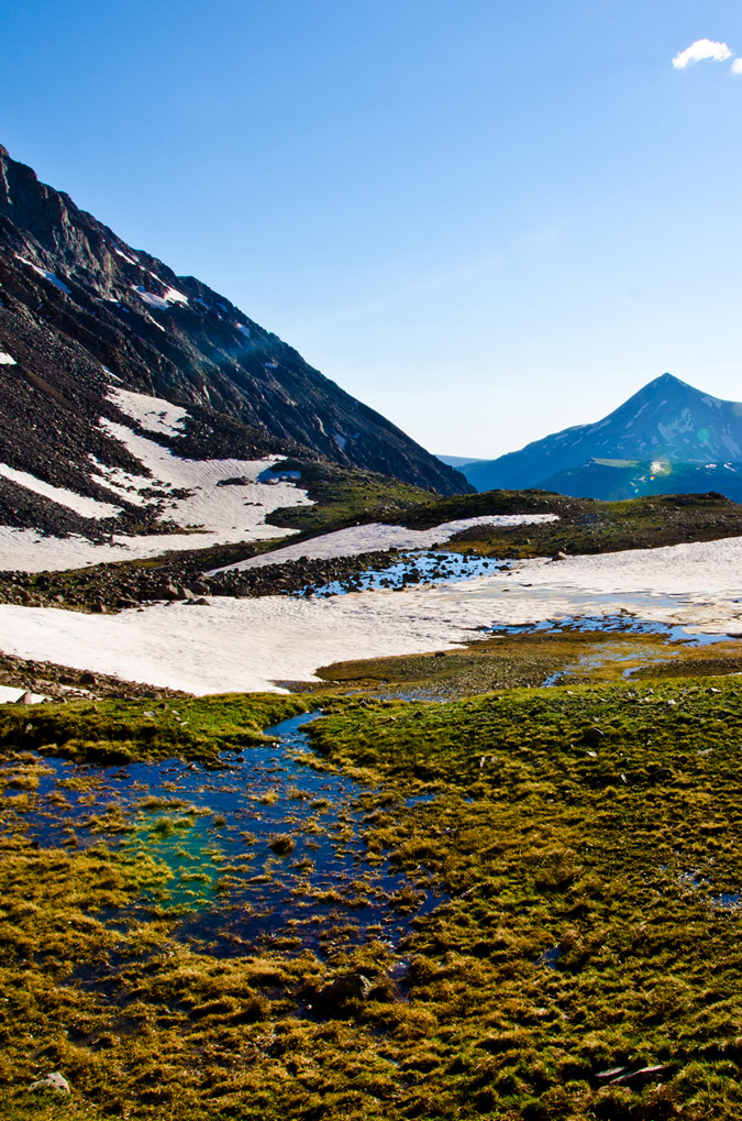 As we worked our way down the snow fields, I was getting more and more anxious for the photography opportunities. I kept looking down at my altimeter watch to see what time the sun was setting. According to my watch, the sun would set at 8:45 PM. I was really pushing myself to get down to Navajo Lake before then so that I could take advantage of my tripod and the sunset.
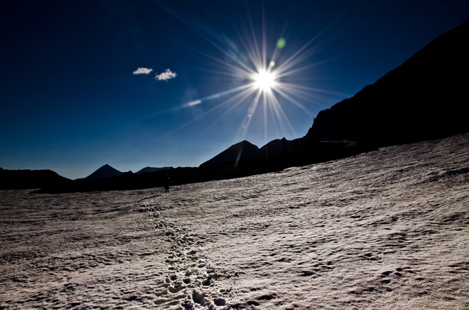
Unfortunately, there were just too many awesome things to take pictures of on the way down!
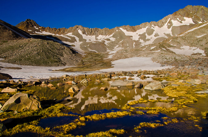
I even found a model marmot to pose for me - how kind of him!
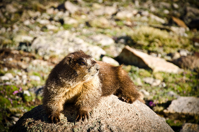
I thought he was pretty funny! He even gave me his best "oh crap" look! Haha.
As the sun set further and further, I kept pushing myself to hike faster and faster. Would I make it?
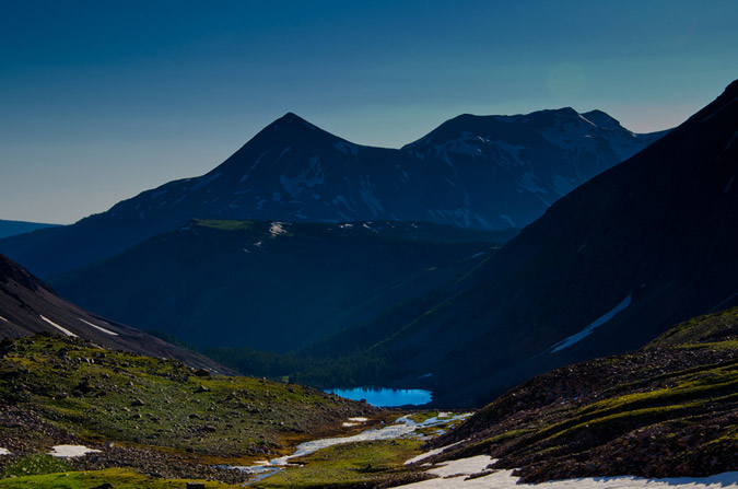
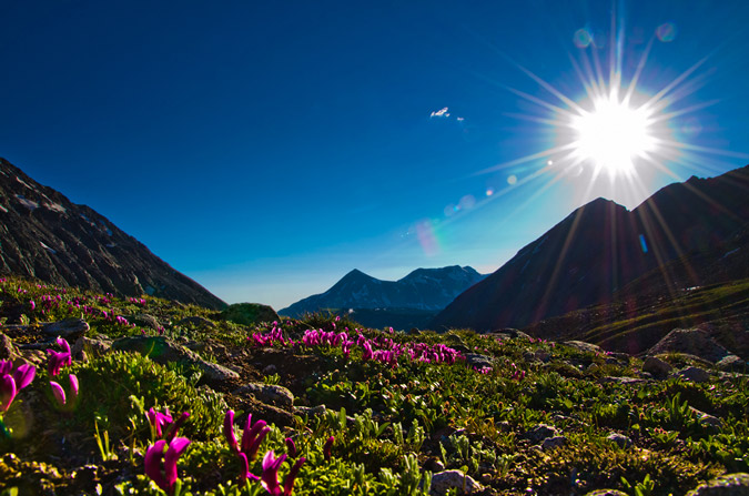
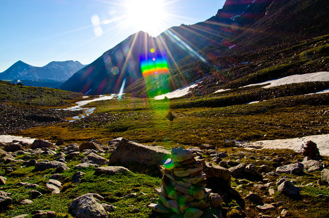
The photographic opportunities were endless...
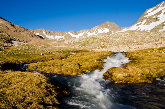
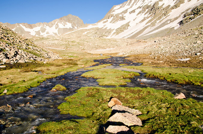
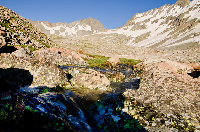
I was even able to get a quick HDR from the trail, although the results were not terribly great.
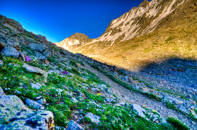
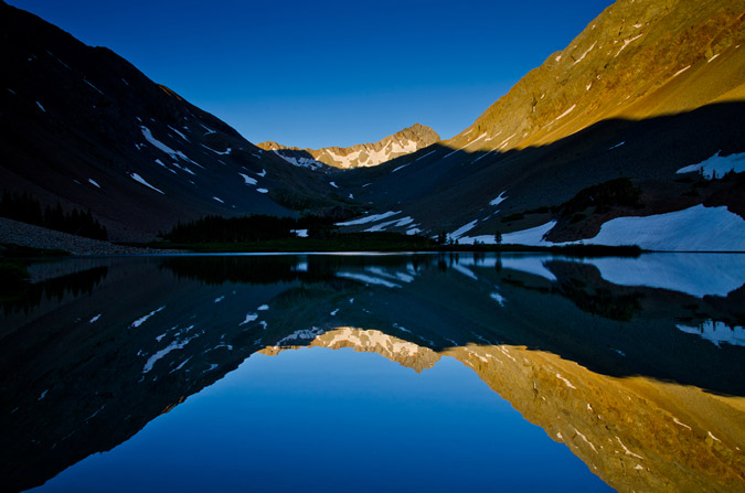
I finally passed Regina and she pretty much knew what I was up to - I needed to get back to that lake! Alas - I did reach the lake right on time at 8:00 exactly, 8 hours after we had left camp. Navajo Lake submitted her glory to me quite beautifully...
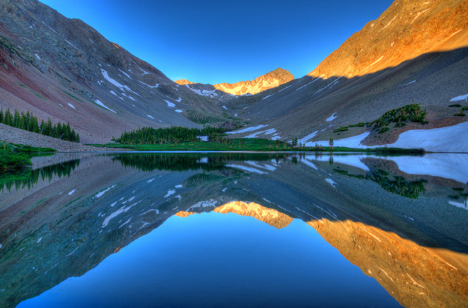
And I even did a pretty decent HDR too:
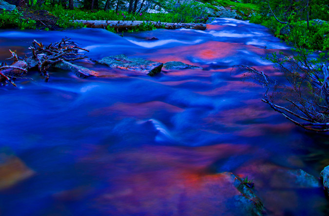
Regina and I convened at camp and decided to cook some Mountain House meals ASAP to refuel. While I gathered some water at the creek, I could not help but notice that the red rocks of El Diente were reflected off of the creek...
Regina and I talked about our plans for the remainder of the weekend. We tossed around a few ideas. Maybe I could climb Mount Wilson and El Diente with another group at the lake? Maybe we would just head out and call it good? We decided on the latter. I did not want Regina sitting around all day while I climbed some more, and since the mountains are not going anywhere, I figured it would be totally cool.
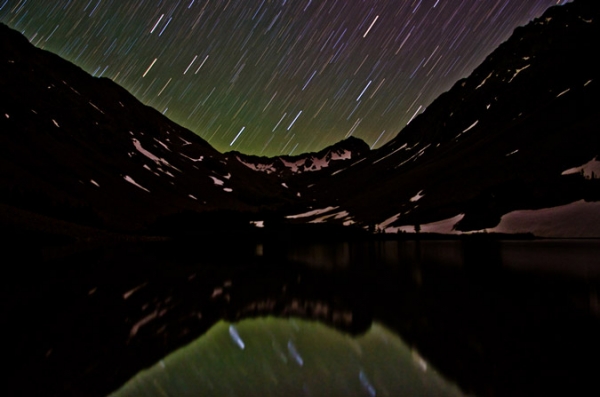
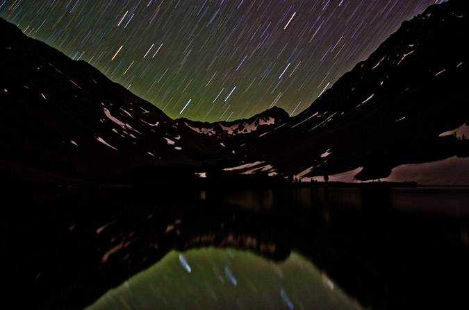
Regina and I threw down on our meals like two starving children. Regina was pretty tired and went to bed, but I knew that my adventure had just begun. With tripod at hand and camera at the ready, I set-up for a night of star trails photography, which is quickly becoming one of my favorite things to do.
Navajo Lake would provide the perfect setting for star trails, and I knew that I would get a few keepers out of my efforts.
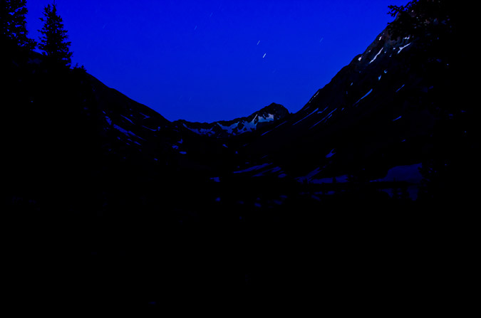
As I waited for the perfect amount of star light, I embarked on a slight experiment. I knew that in a lot of star trails photos, the goal is to center the photo on the North Star, since that star does not move across the sky. The result is a center star that does not move with the rest of the stars rotating around it like a carousel. Unfortunately, I totally forgot how to identify where the North Star is in the sky, but knew that it had something to do with the Big Dipper. I realized that the Big Dipper's cup pointed at the North Star, so I centered my camera on that star and tested it out. Sure enough, I had successfully located the North Star.

Finally, the moment was right and I opted to do the one exposure method of shooting star trails, where combining photos is not required, but precision is. I think it went pretty well, although I really wanted to do it for longer, but literally fell asleep on the shores of the lake while the camera took the shot...
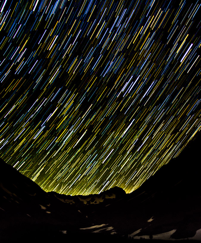
I also decided to compile a set of exposures @30 seconds each to see which method produced the best results. I certainly feel torn!
I finally went to bed, knowing that I had captured something magical in the reflection of the lake. In all, I ascended 5,280 ft. and hiked over 15 miles. Click the elevation profile for a larger version if you'd like.
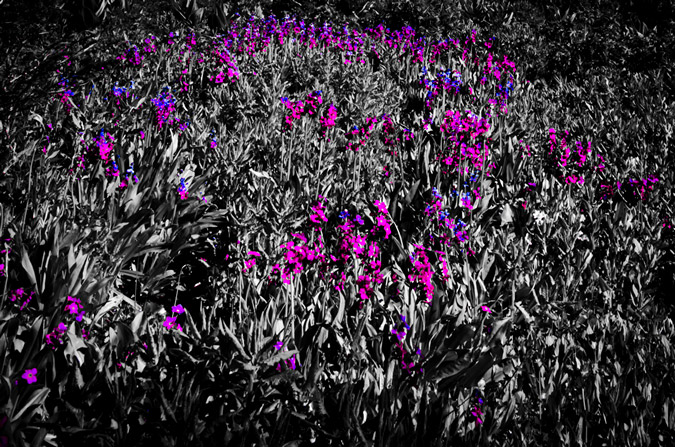
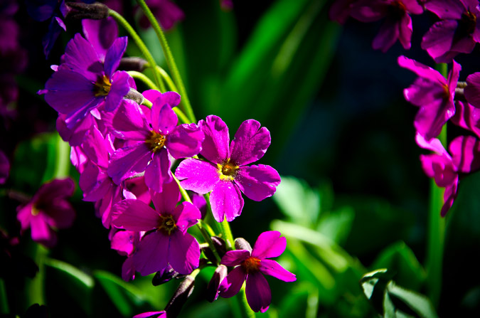
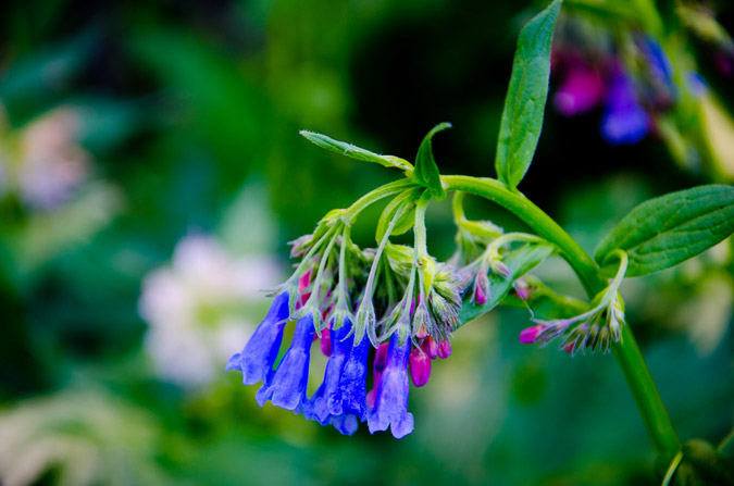
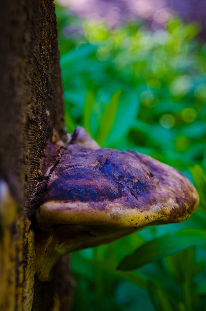
The next day, we packed our packs and headed out, but not without some obligatory shots of more wildflowers and one whacky mushroom!

 We departed the valley thinking that our adventure had ended. We left knowing that we had gleaned some positives from the trip and that even though our plans did not pan out the way we intended, that it was still a great time. Little did we know then that our adventure had just begun...


