Displaying items by tag: Babcock Peak
Babcock Peak - A Fabulous 13er Scramble near Durango, Colorado
I moved back to Colorado this past November. I liked Oregon but really missed my Colorado mountains. I landed a pretty fantastic job in Durango and have been working hard over the winter to get back into climbing shape and be ready to go for the summer and fall. The La Plata Mountains are very close to Durango, closer than I thought. A quick 45 minute drive and I was at the trailhead to some of the most impressive climbing in the state - and few even knows it is there. My friend Schuyler and I decided to do Babcock Peak (13,180 ft.), Colorado's 499th highest mountain. This choice was mostly due to how close it was to town and how interesting the approach looked on the map. I had heard that the traverse between Babcock and Spiller was impressive and we figured if it looked good we could try it. This was also our first climb together and we kept it pretty open-ended in terms of our goal for the day. My understanding is that Babcock's true summit is the point just West of the one we climbed to. We decided not to go all the way over there. To check out our full route and GPS file, check out my GaiaGPS track. You can purchase GaiaGPS here and help support the site.
We arrived at the TH at 7:30 AM - a late start by my standards. We were not too concerned with weather and knew that the high start at 10,300 ft. would save us some time. Our plan was to go straight up Tomahawk Basin and gain the east ridge of Babcock. When we arrived, our plan seemed to look like it would make a lot of sense.
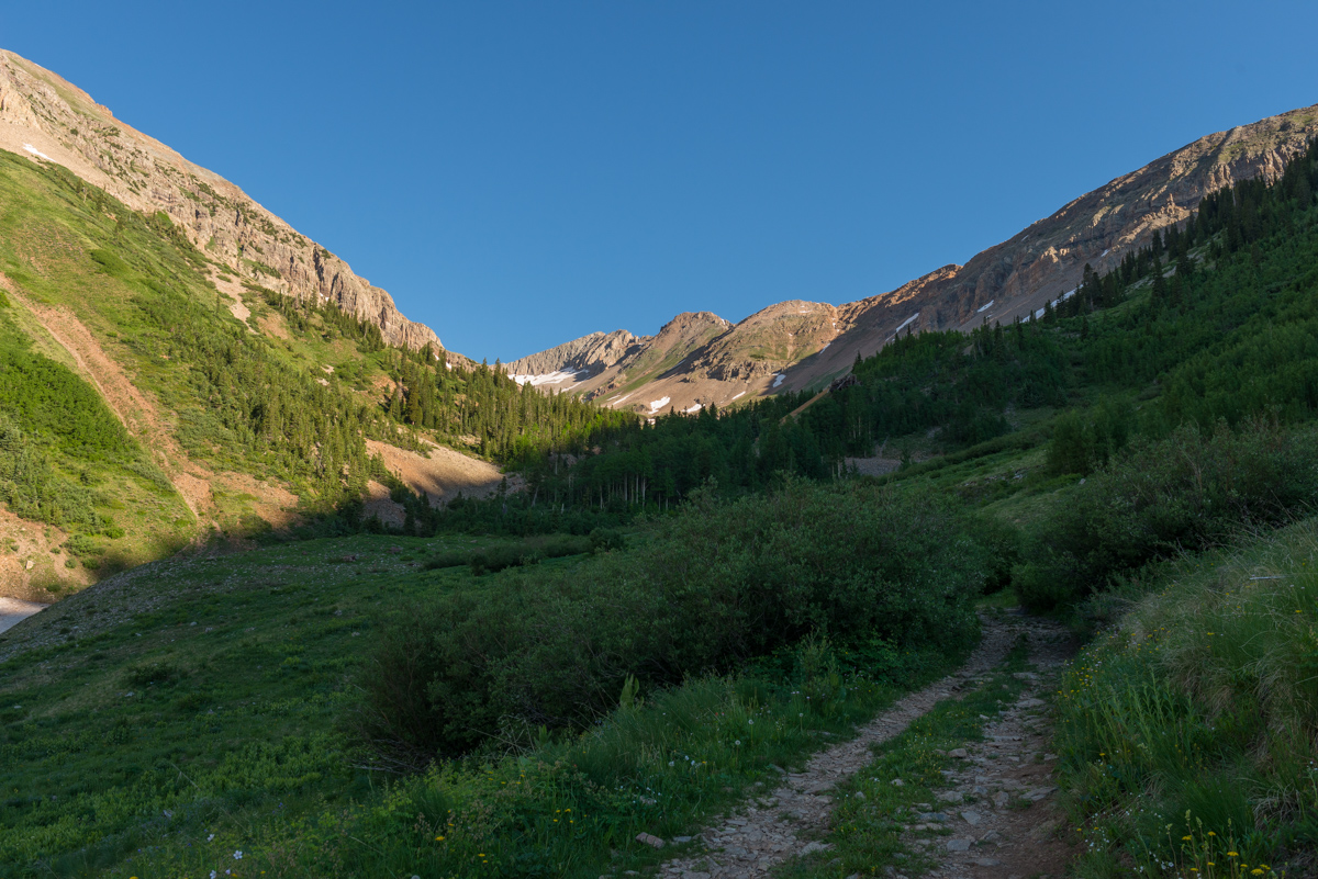
Indeed, we just walked up the road until it made sense to turn up the valley. Looking back on Silver Peak from this angle was comforting.
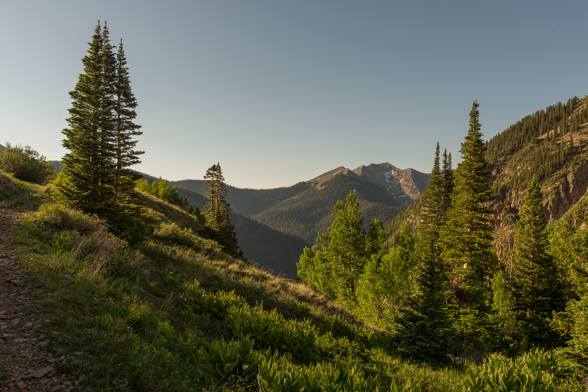
The Tomahawk Basin opened up nicely for us - revealing a ledge system comprised of waterfalls and lots of untrailed terrain - welcome to bushwhacking up an obscure 13er!
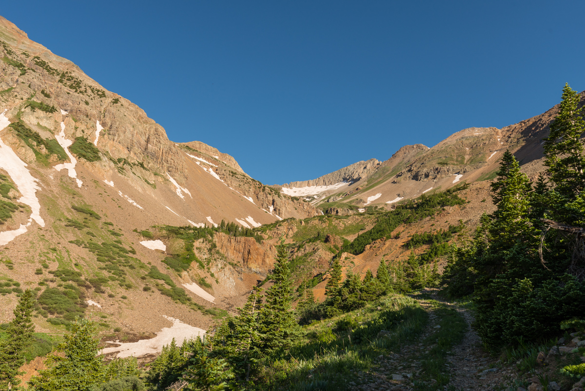
I was constantly impressed by the rock formations and the steep crags that presented themselves as we continued up.
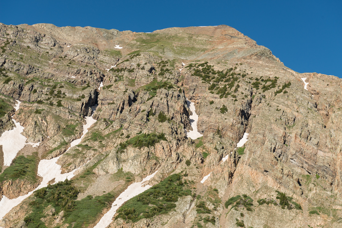
The upper basin opened up to reveal an incredible waterfall coming down the basin, all before a series of impressive crags and points at the terminus of the basin.
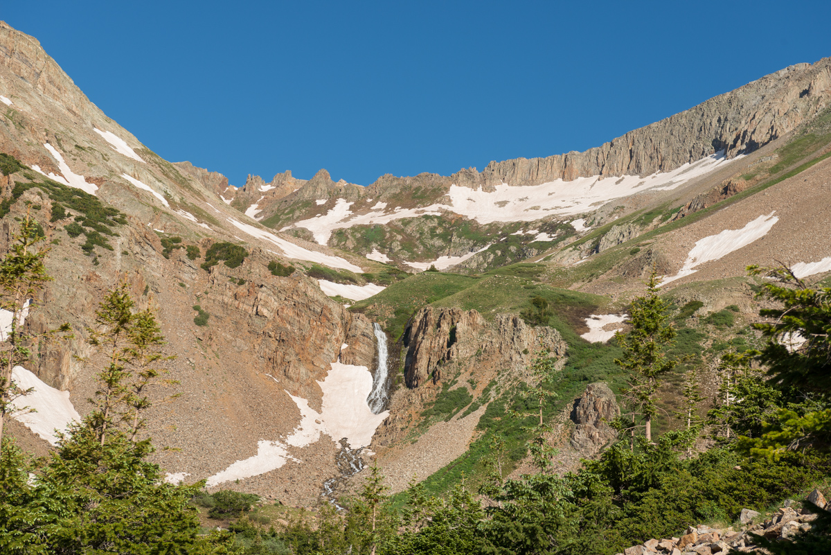
The huge waterfall coming down out of Tomahawk Basin was impressive - I was already formulating some plans to come back and photograph the falls at night or in the winter. Schuyler had his eye on a route up through the talus field to the right of the waterfall to avoid downclimbing, so that's what we did. It was a rather hideous mess of off-trail climbing on small boulders and rocks mixed with unconsolidated dirt and sand, making for a very frustrating ascent. In retrospect, we would have stayed right up the middle of the valley and up the grassy slopes to the right of the falls.
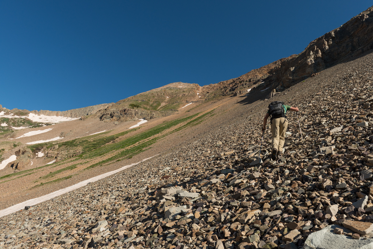
A view of the nasty rock field we went up and through. Nothing technical, just really frustrating terrain.
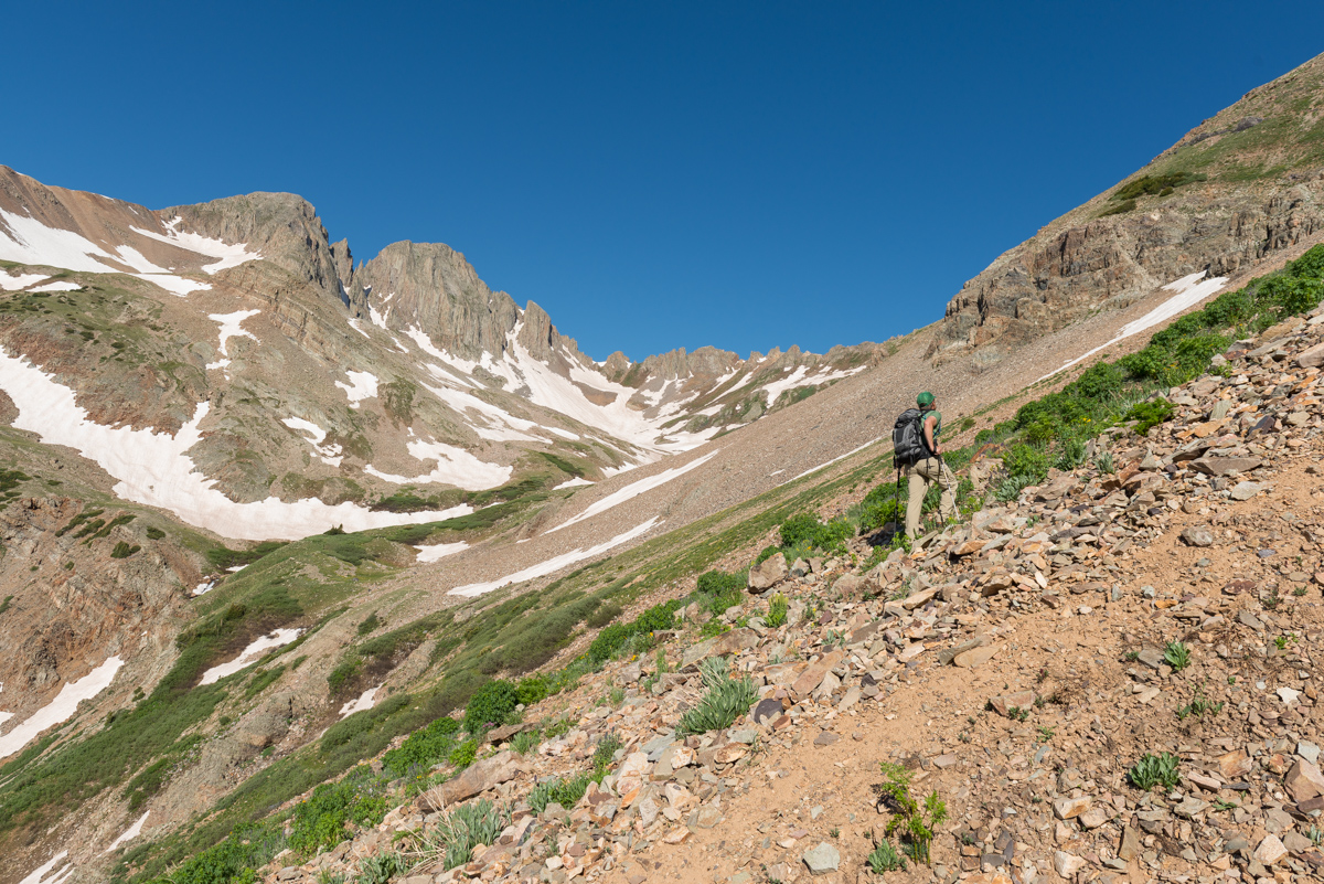
As we climbed higher the whole mountain came into view and we were able to better guage our route up - we decided on trying to stay on the snow as much as possible, with our actual route seen below in red.
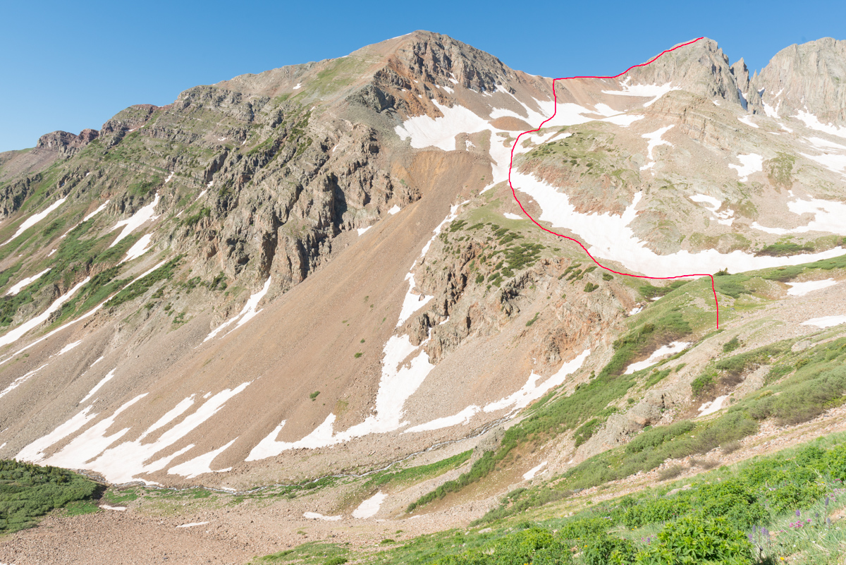
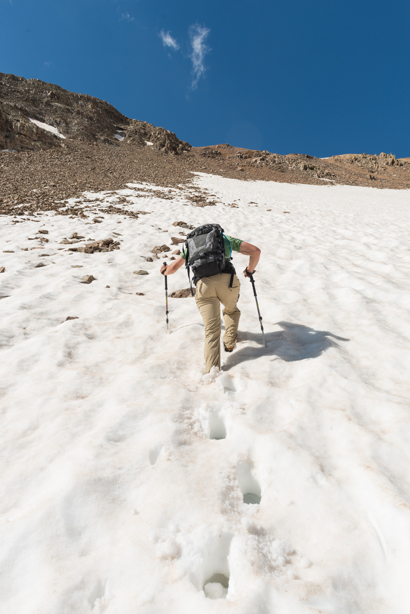
The snow was very hard for the most part. In retrospect, I would have stayed on it for longer, gaining the ridge only after the snow totally faded. We ended up going straight up a scree field that was not very pleasant.
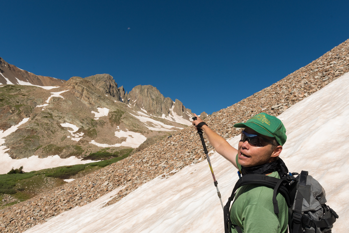
The moon was a nice feature for this climb, adding some interest to my photos and our view above the gnarly pinnacles on Babcock, which impressed us both.
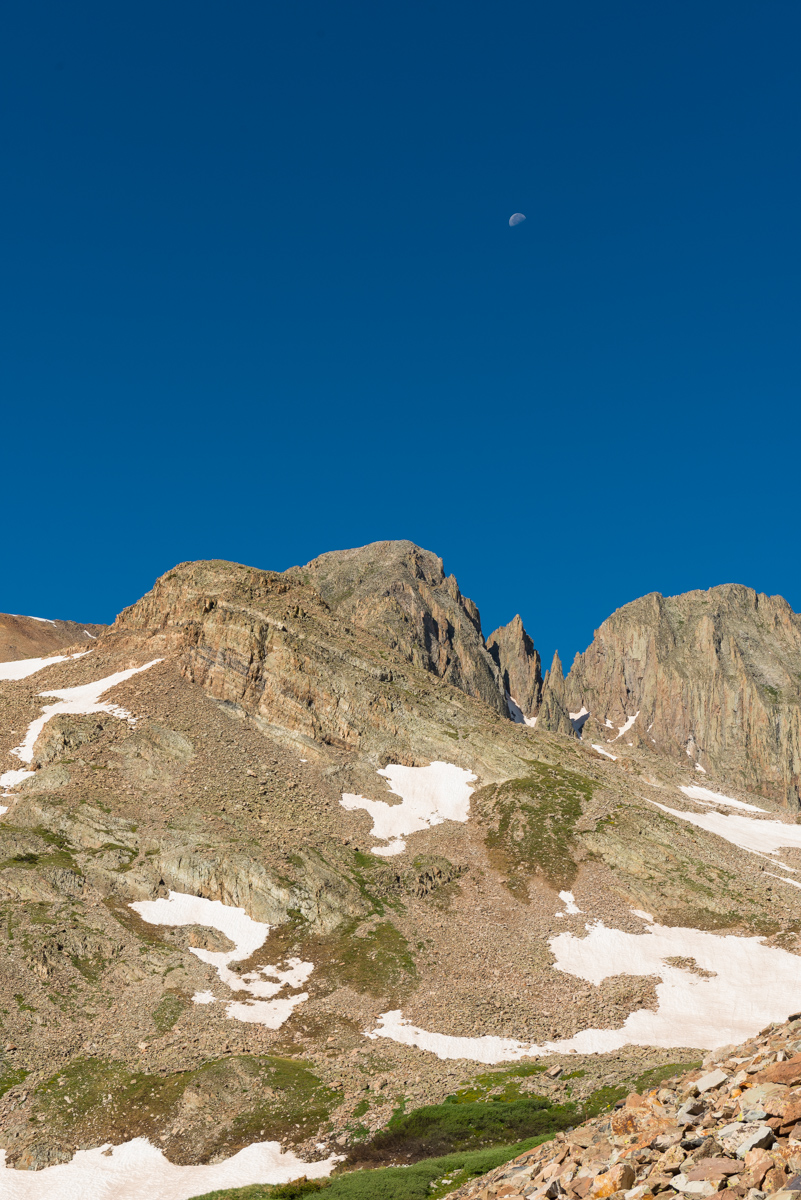
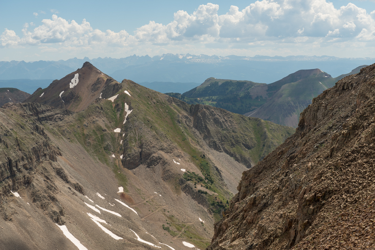
A full on view of Babcock's east face showcased the very nasty terrain we would later find ourselves on.
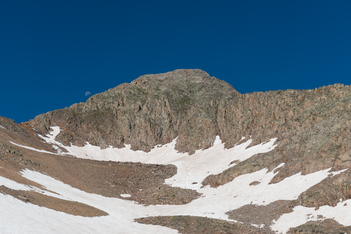
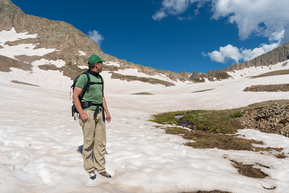
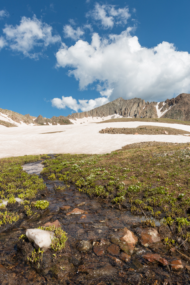
The upper basin afforded nice views and a small meadow at the terminus of the snow fields.
The summit of Gibbs Peak peaked above the meadow. We both thought the ridge between Gibbs and Babcock looked doable, but it was not on our agenda for the day.
A look back down and across the valley revealed the summit of another obscure La Plata 13er, Diorite Peak, which appeared to have a road going all the way up to the ridge from Tomahawk Basin. We both looked forward to coming back to go up that one.
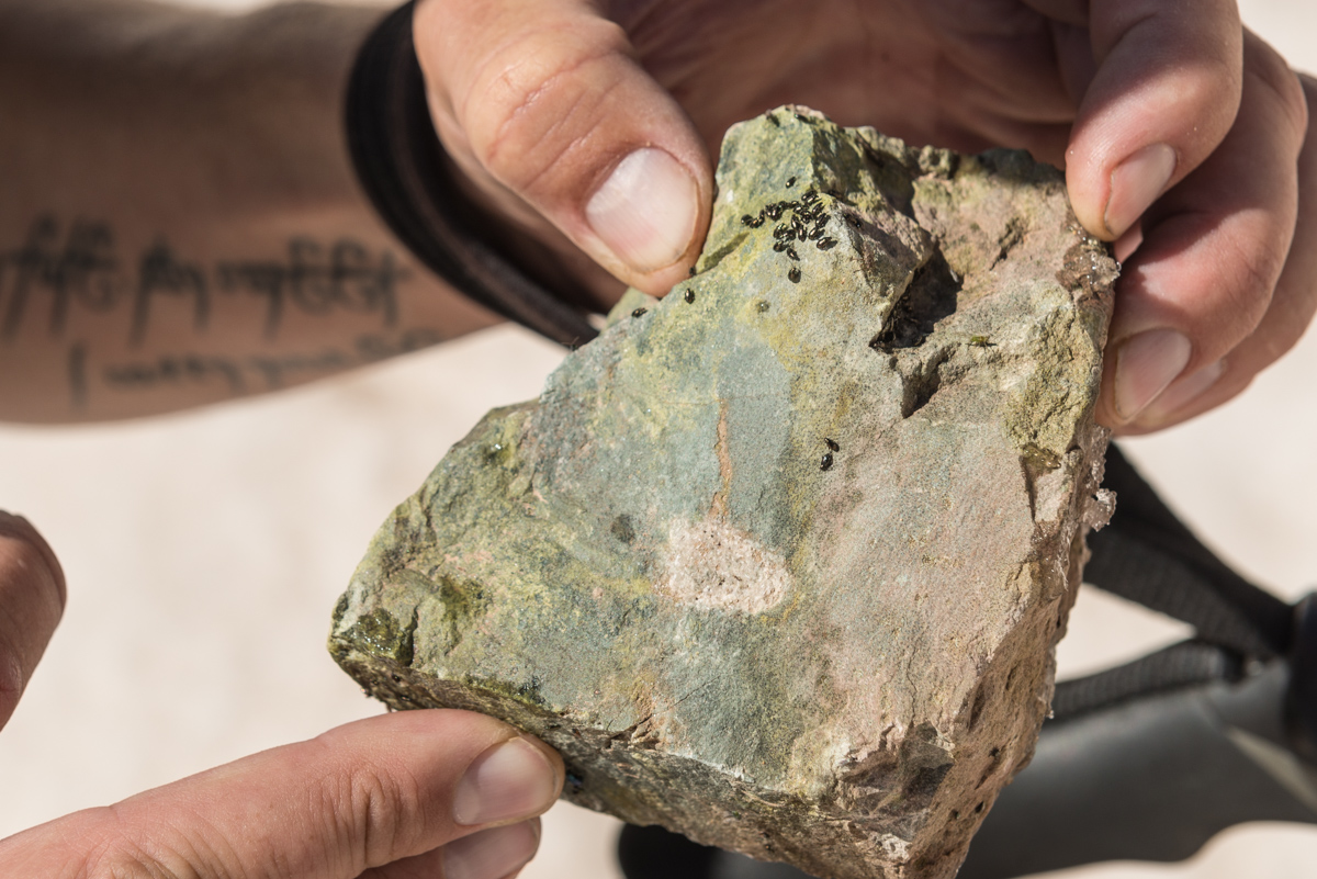
All the way up, we encountered these rocks that were covered in beetle larva, which was pretty interesting.
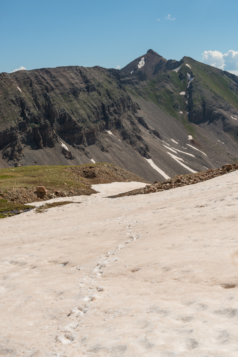
A view up the last part of the snow ascent before the saddle. This section was quite a slog.
Upon reaching the saddle, our view back across the valley at Gibbs and the top of Lavender (left) was impressive. Later on we saw two people climbing the snow couloir up Gibbs (middle), which looked like quite the challenge!
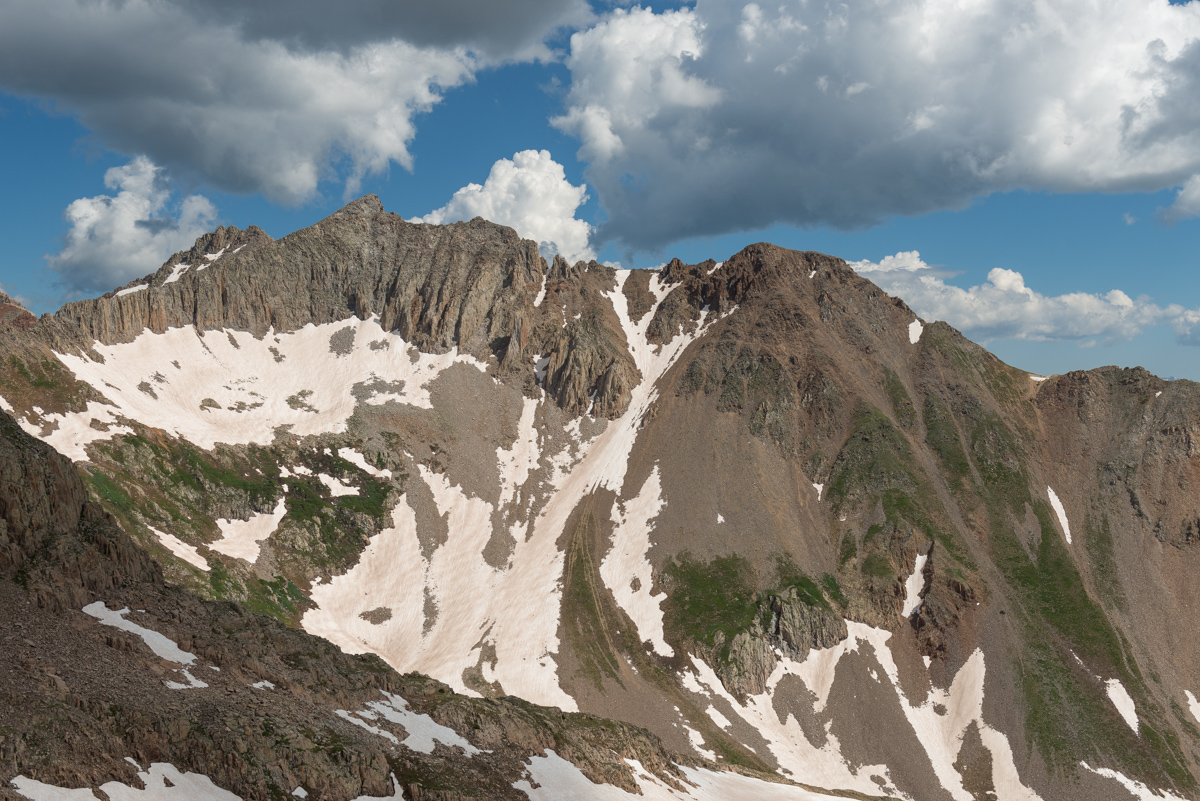
This is what the terrain near the top of the saddle looked like - nothing too difficult.
We both really enjoyed the view above the Gibbs / Diorite saddle towards the Wilsons and Lizard Head Peak. Scyhuler, being a much more avid rock climber than I, was really excited and is already formulating plans to tackle Lizard Head.
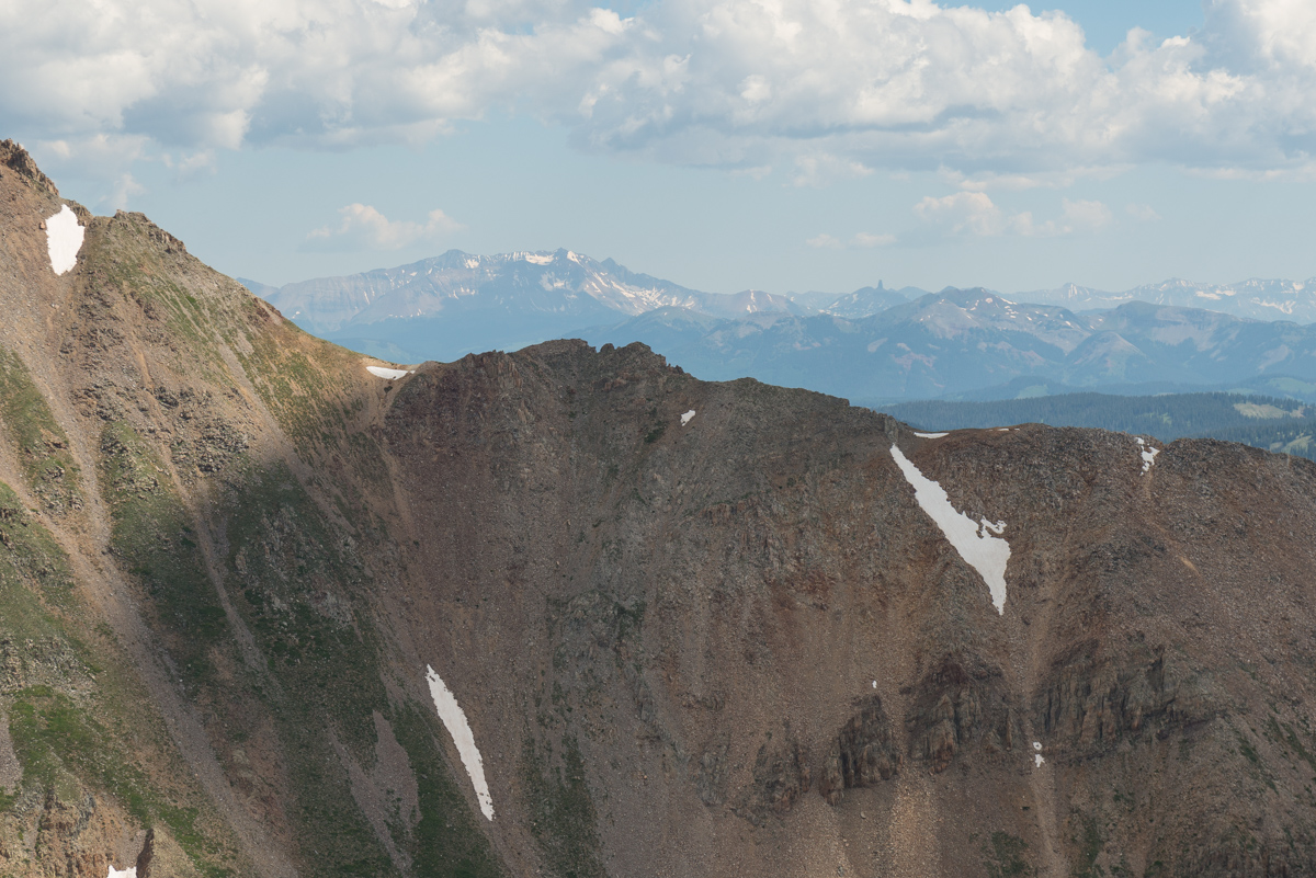
My gaze was more drawn towards Diorite and beyond to Chicaco Basin, the Grenadiers, and the Needles.
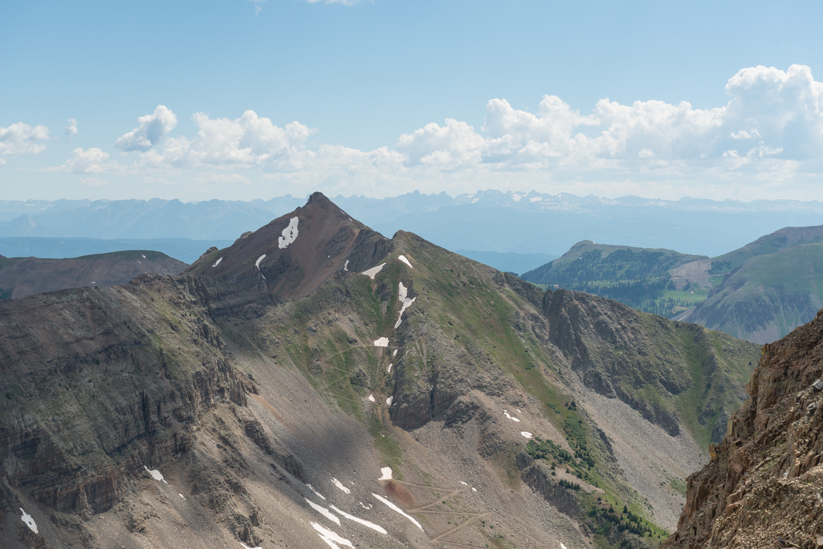
The saddle at the base of Babcock presented a nice angle of our final section for the ascent - which was a very nice Class 3+ ridge filled with solid, yet exposed rock.
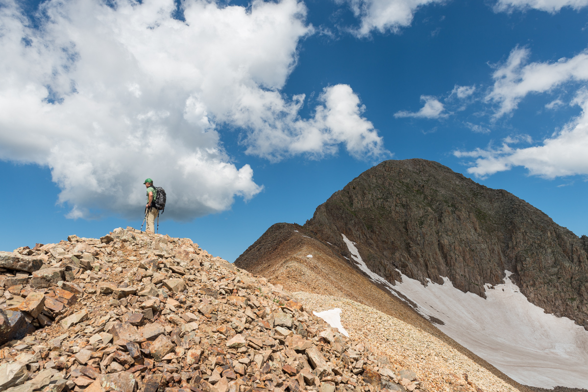
The crown jewel and highest point of the La Platas, Hesperus, appeared left of Lavender and Gibbs.
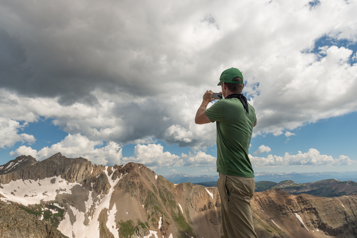
Schuyler captured some shots with his phone too :-)
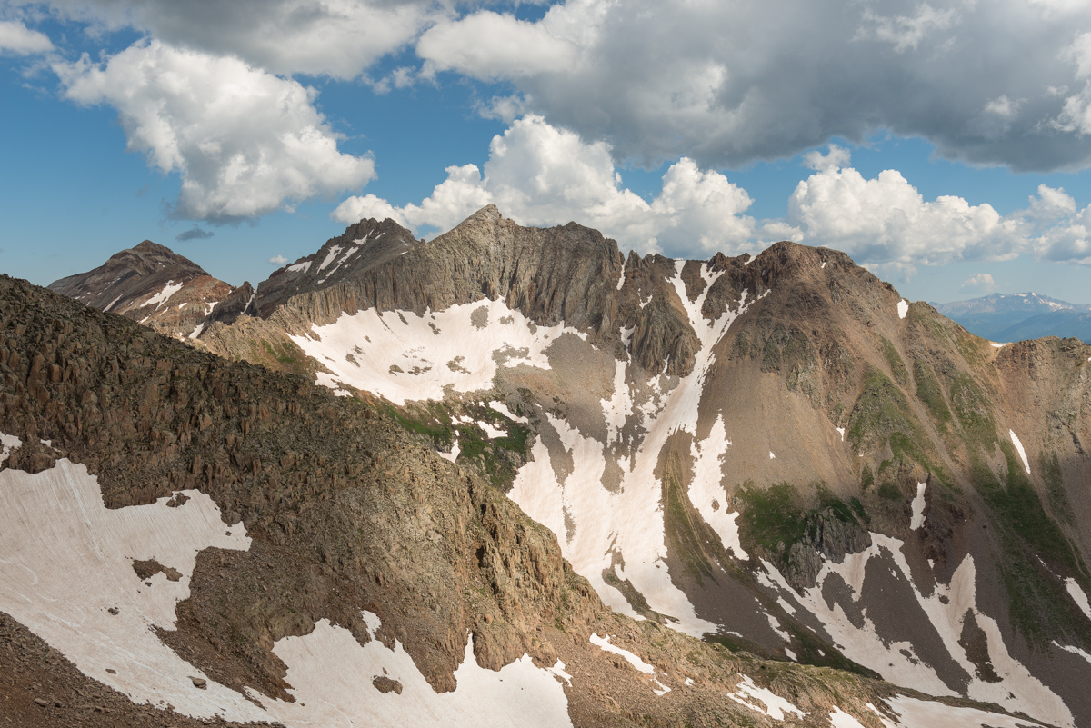
Here is another view of the road going all the way up Diorite. Those old miners were crazy!
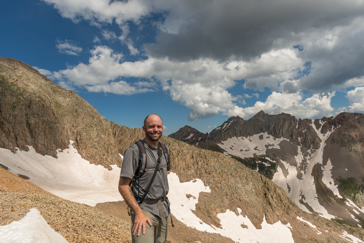
A shot of me before our final ascent.
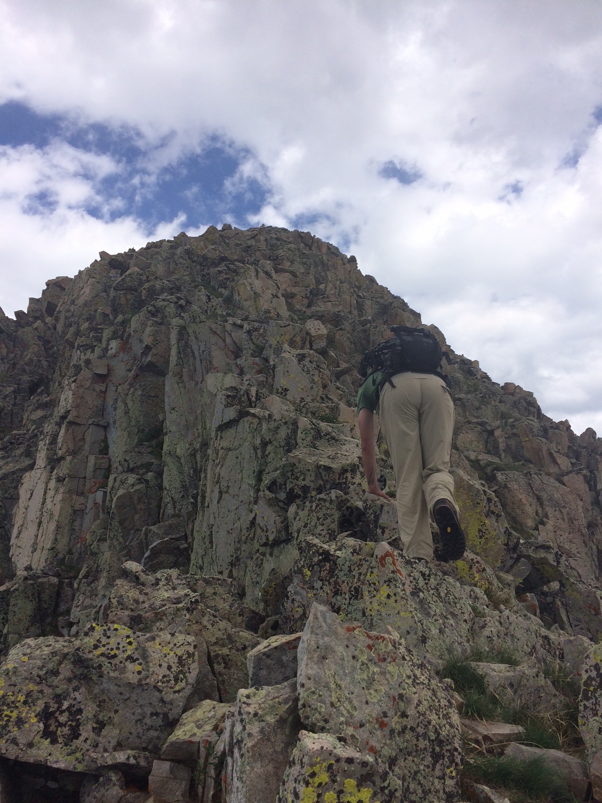
Here is a nice view of what the rock was like up the summit block of Babcock - solid, jagged, and full of awesome.
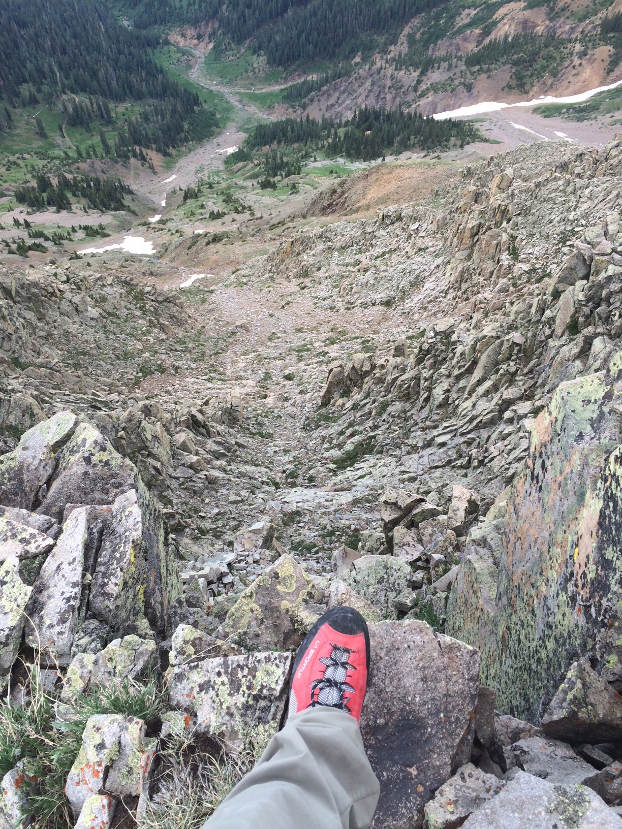
The exposure was real - here's some perspective looking down the valley to the south.
Schuyler and I celebrated briefly upon reaching the summit - nothing too difficult, but it did appear we were the first of the season. I rate this climb fairly highly based on the terrain and ease of access, coupled with total lack of other people. A really rewarding experience for sure.
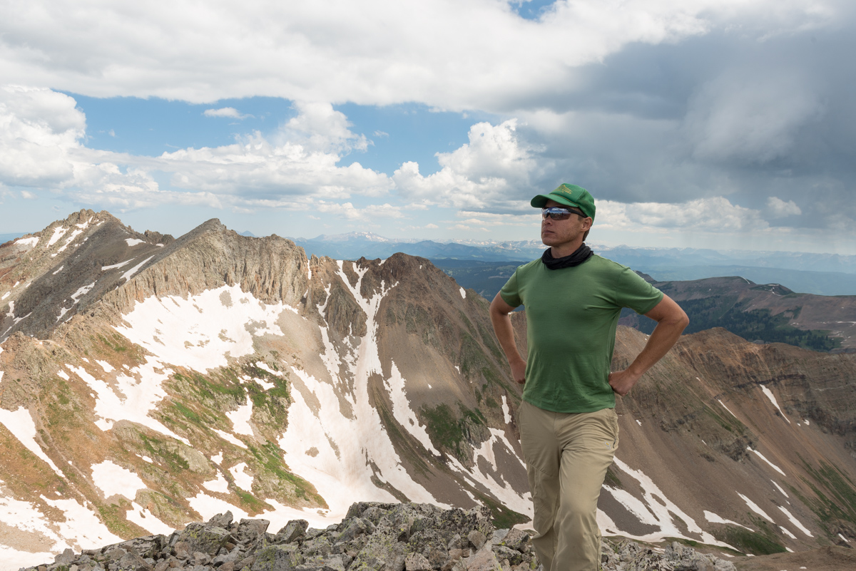
Here's me gazing across at the impressive Grenadiers / Needles.
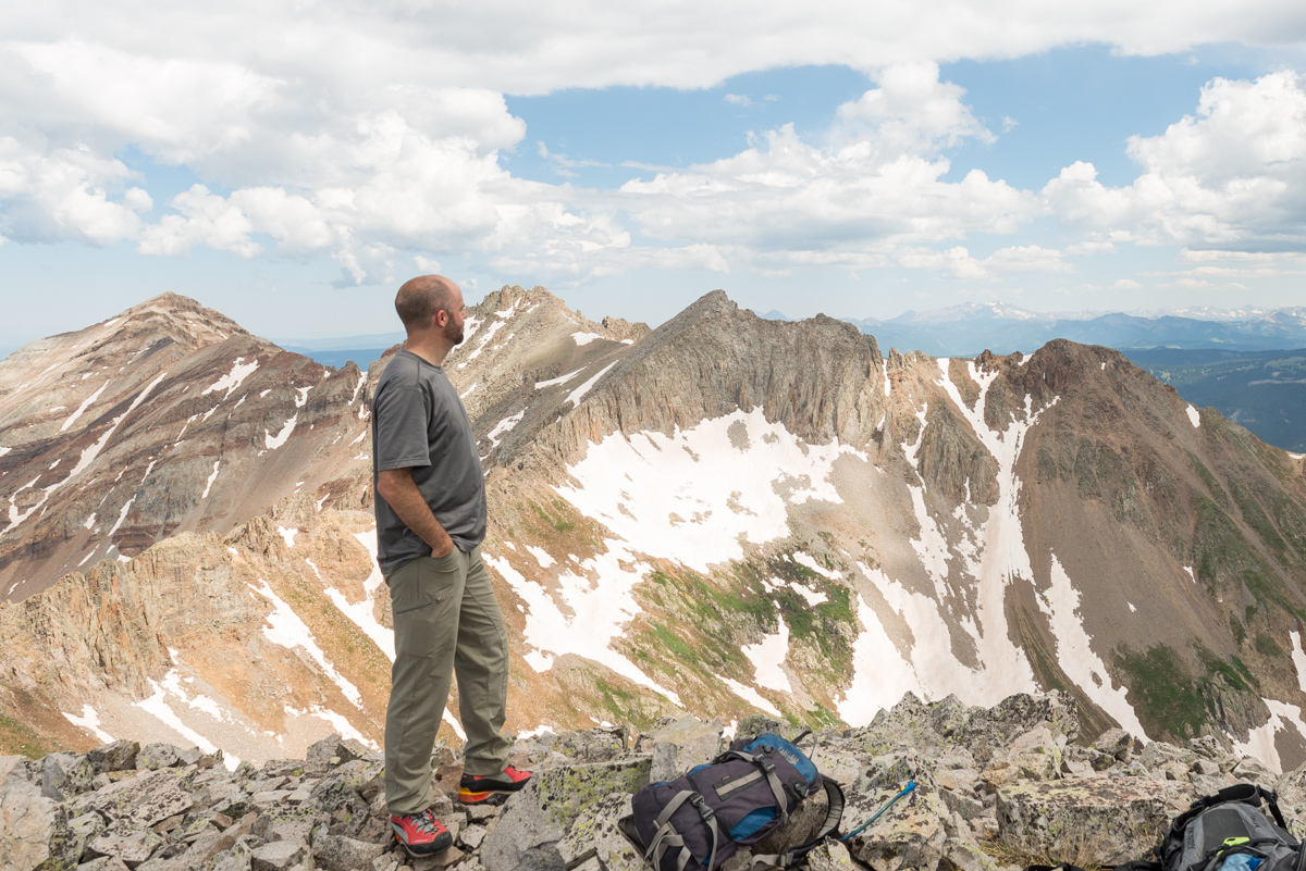
A full 360 degree panorama centered on West Babcock.

Below is a condensed panorama showing Hesperus (left) all the way over to Diorite (right).

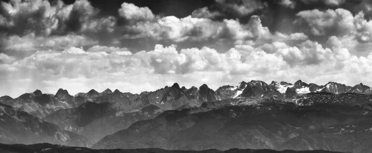
My favorite view of all - a cropped version showing the Grenadiers (left) and the Needles (right). I've climbed most of them.
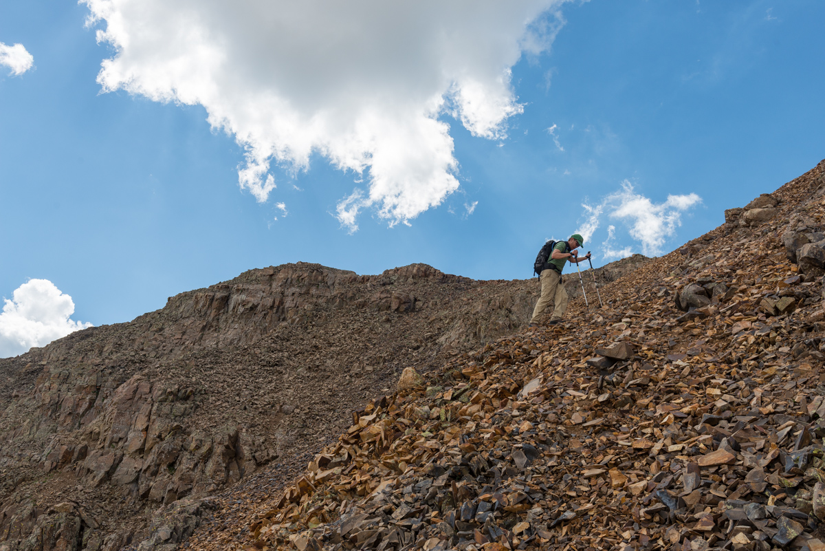
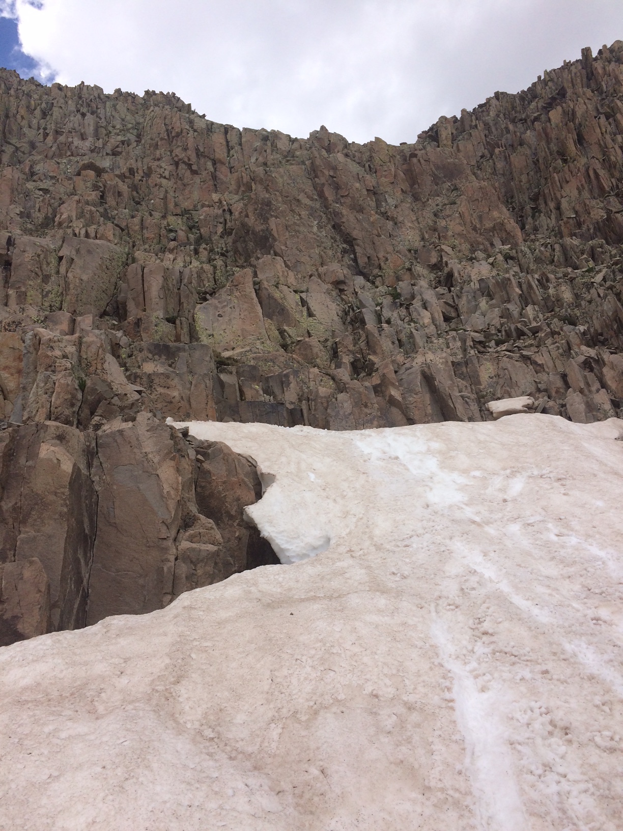
For our route down, we (stupidly) decided to head down another way, down the east face. I'm not sure why either of us thought it was a good idea, but we committed. It was a nasty combination to be sure. Lots of class 5 downclimbing and loose garbage. I would not recommend it.
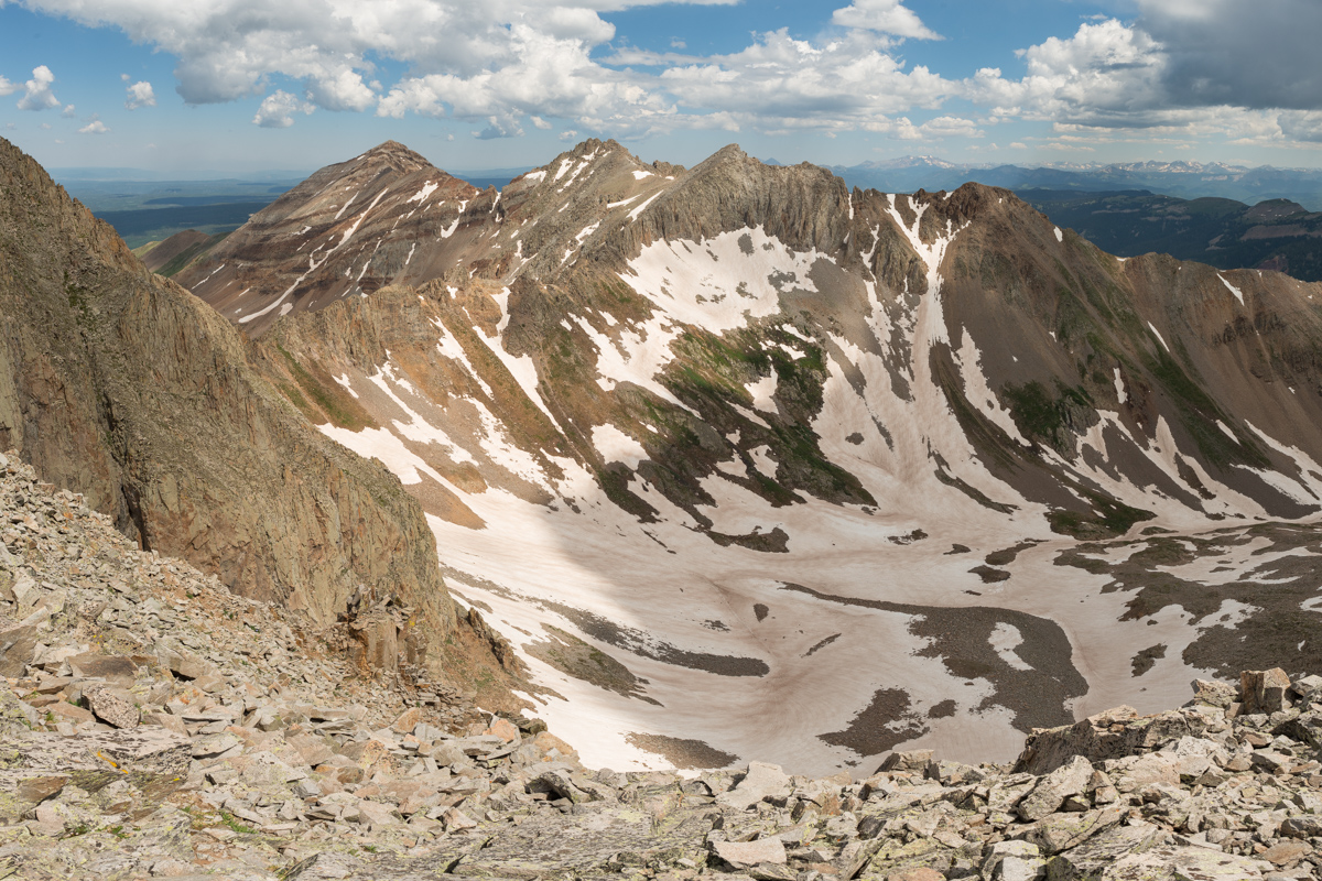
The shot below does not fully show how bad the terrain really was here. I don't know how many times I need to learn the lesson to come back down the way you came, but I'm hoping this was my last time.
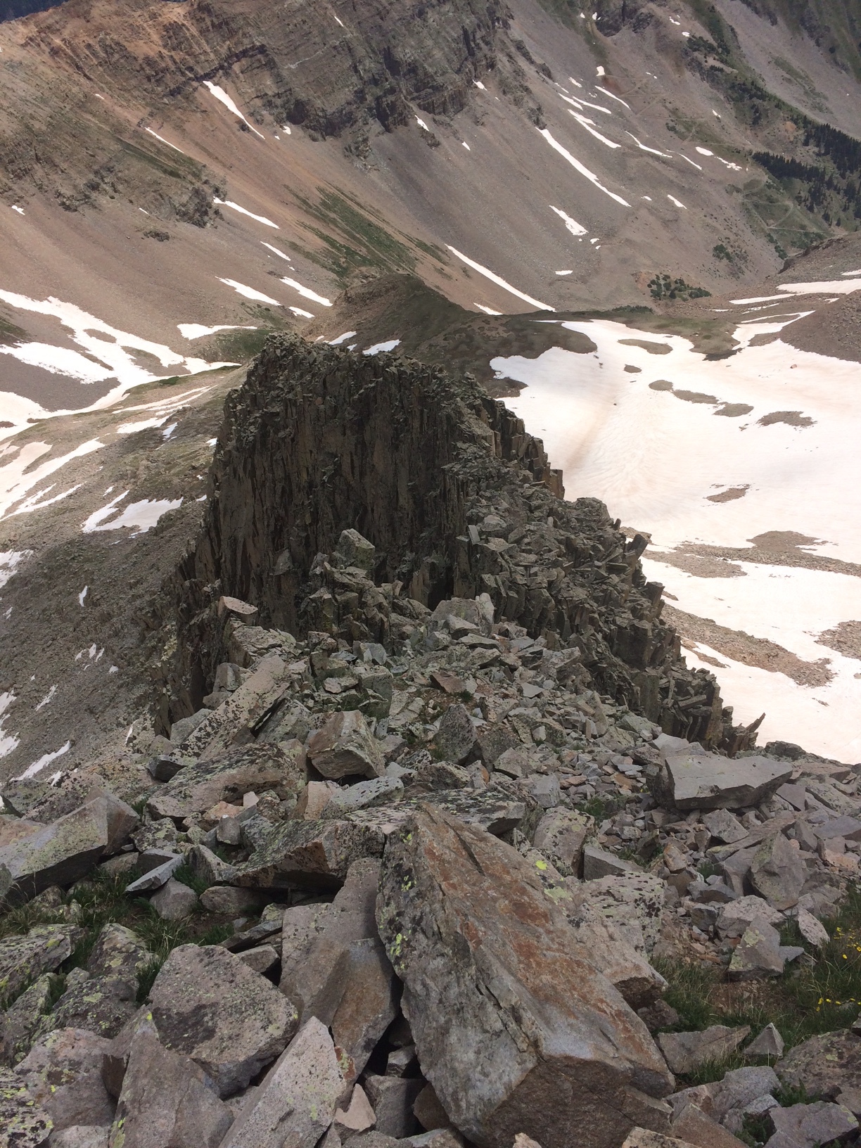
Below is a look back up what we decended. Again, it looks better than it was. We both had on our game faces for this downclimb and were uncomfortable throughout.
That concludes the trip report. Hopefully it was helpful to someone else looking to escape the crowds of the 14ers and enjoy some awesome solitude on a nice class 3+ 13er. A downloadable track and summary of our hike on GPS can be found HERE.


