Short story: One of the most scenic and enjoyable hikes I’ve ever had the pleasure of doing.
Long story: On Friday evening I drove via I-25, C-470, and I-70 past Vail to the Tigwon Rd. near Minturn, CO. The total drive time was 3.5 hours.
I think I arrived at the trailhead at about 9 PM and prepared my luxurious accommodations:
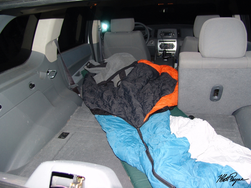
I’ve been wanting to do Holy Cross for a long time. The famous views of the Cross Couloir are something I’ve been wanting to see since I was a little kid.
Not that I’m religious, but the mountain is probably one of the most recognizable peaks around due to the snow couloir shaped like a cross.
Apparently many people used to do pilgrimages to the Notch Mountain Shelter which was built in 1924 in order to see the famous peak. I chose the Notch Mountain trail and Halo Ridge route for this very reason – it brings you up to 13,000+ feet and keeps you there for 4-5 hours of hiking… sweet! Some more history about Holy Cross:
In the mid nineteenth century, as the high country of Colorado was being explored, reports of a peak with a cross on its side began to circulate. A while later, it became clear that there was a high mountain with a large cross on its side formed out of snow. Finally in the August of 1873, a survey party led by Dr. Ferdinand Hayden, and including the photographer William H. Jackson, ventured into the wilderness above the Eagle River and located Mount of the Holy Cross. On August 24, two parties set off in different directions, the first to attempt to climb Mount of the Holy Cross, and the second, which included Jackson, to climb Notch Mountain and hopefully photograph the cross. Both parties were successful that day; one making the first known ascent of Mount of the Holy Cross, and the other reaching the top of Notch Mountain.
In the decades that followed, the area became a popular destination for religious pilgrimages. In the mid-1920’s a stone cabin was erected on top of the southern ridge of Notch Mountain to accommodate visitors. Due to the popularity of the area, in 1929, the area was declared a national monument by Congress. In 1950, the national monument status was rescinded. – Photo and history credited to summitpost.org and Aaron Johnson.
This weekend promised to be one of the best weekends for climbing – the weather was projected to be totally clear and there was a near-full moon on the calendar. Due to these factors, I wanted to get up super early and try to catch the sunrise from 13,000+ feet – something I’ve not done in over 10 years. So I set my alarm for 3 AM and hit the sack. I woke up at 3 AM and got ready, groggily. It was kind of strange being all by myself in the dark, but I was excited to begin my adventure. Hiking solo was a perk because it meant I could set my clock for whatever time, spend as little or as much time as I needed to get to my destination, and not rely on others for anything. I could also listen to my I-pod, which was kind of fun. The only drawback was that I was doing a lesser-used route by myself and so I would need to be very careful not to get injured. I started at the Fall Creek Trailhead at 3:30 AM and hastily made my way up the side of Notch Mountain.
I counted over 40 switchbacks to the top of the ridge.
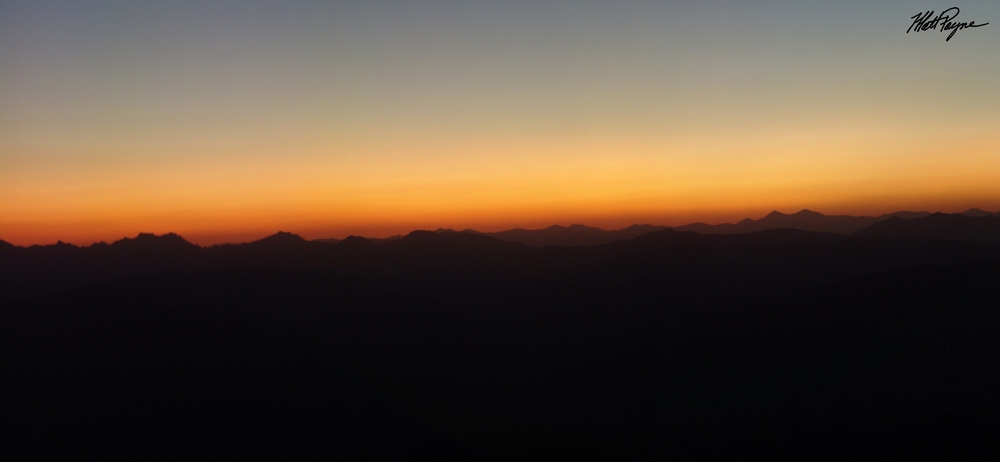
As I neared the top of the Notch Mountain ridge, I could not help but look back behind me to see the light change as the sun started to light up the horizon:
From the trailhead to the shelter was 5.1 miles, and I was able to get to the shelter at 5 AM, which means I made super-good time – 3.4 miles/hr.
with 2,673 ft. of elevation gain. The wind was really cold at 13,077 ft. (elevation of the shelter) so my hands were pretty much frozen – taking pictures
was pretty challenging… The good news was that my legs felt ridiculously strong and I was jamming out to some Solas – which totally reminded me of my friend Rob, who introduced me to that music a very long time ago. Jamming out to Irish music while watching the sunrise was pretty darn awesome. Anyways, here’s the shelter.
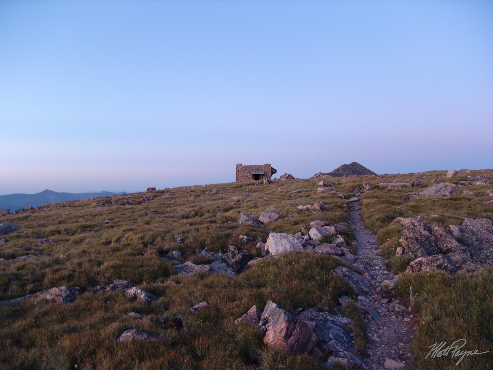
That little bump of a mountain at the end of the trail would be my first challenge of the day – UN 13,248. So the shelter was pretty awesome – it had steel cable attached to it at numerous locations leading to the ground, which acted as lightning protection.
I was pretty impressed with how sturdy it was, given it was built in 1924. Another neat feature of the shelter was that it had windows – windows that were clear enough to see a reflection in. I could not help but take my first photo of the famous Holy Cross:
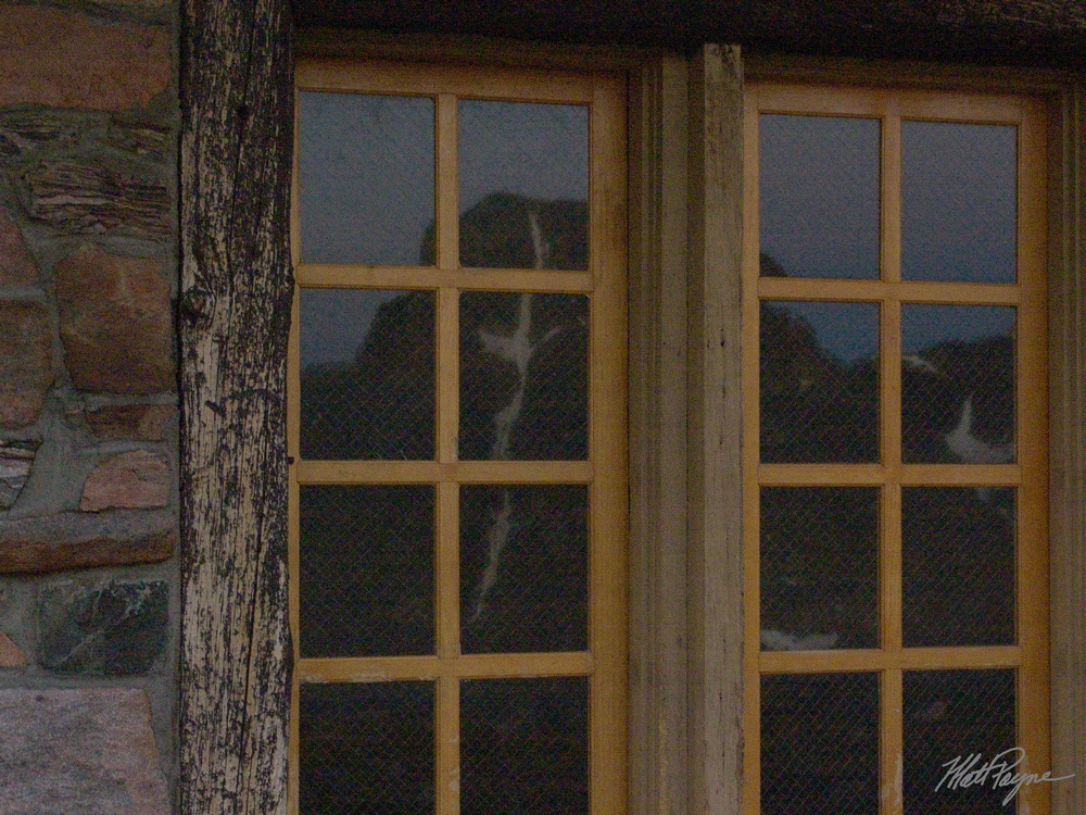
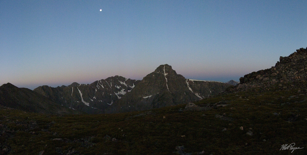
The sun still had not crested the horizon, but the light was still amazing. I decided to get a nice panoramic photo of the shelter and Holy Cross – you can also see the reflection in this one:

And just before sunrise… with the moon above.
I’ve got to tell you – watching the sunrise over the Gore and Tenmile Ranges was pretty spectacular.
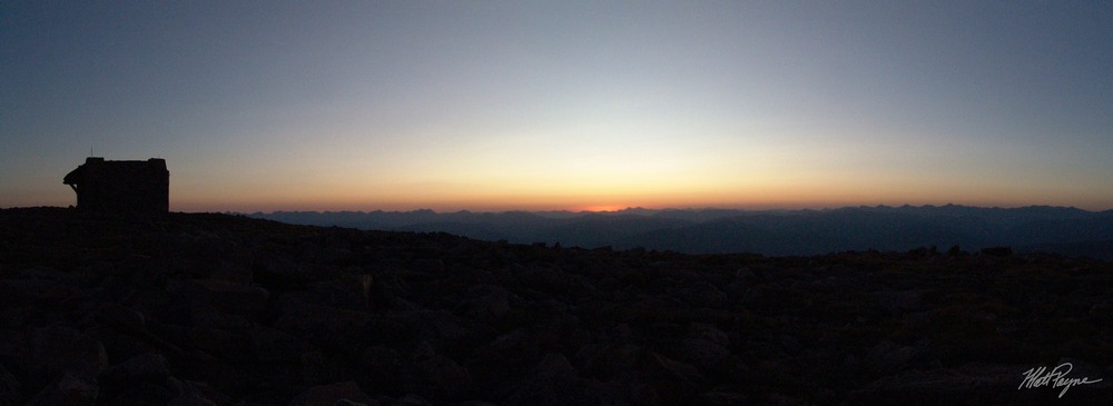
360 degrees of sunrise awesomeness:

Wait for it… wait for it… Woohoo! The sun rises! Amazing stuff.
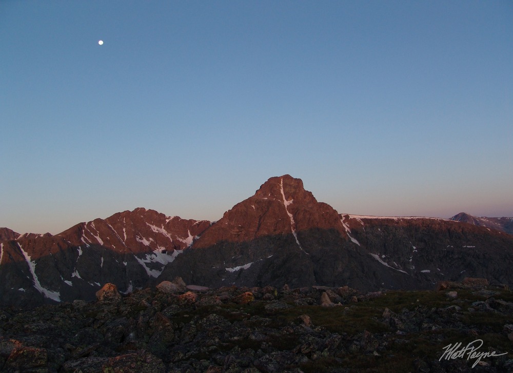
I decided to start hiking towards my first destination but I kept stopping like every few feet taking photos – I was addicted to the insane light I had all around me despite the fact that my hands were frozen. My route would take me all the way up the peak to the left and up and around the ridges to the right of there and finally to the top of Holy Cross. The summit was a good 2 miles away and the route would never drop me below 13,000 feet for the rest of the day.  The lighting on Holy Cross was very impressive – I really liked the red hue the sun was producing.I slowly made my way over towards PT 13,248. I finally made it to the top of PT 13,248 after about an hour of slow scrambling and photography, and took more pictures of my view – my favorite part about this hike was that my perspective was constantly but slowly changing.

Just on the other side of PT 13,248, I was able to see the rest of my route for the day – the ridge looked very straight-forward but LONG. And long it was…

My next objective was to conquer PT 13,373. The trek over to the base of PT 13,373 was very easy, but the route description states that reaching the top of PT 13,373 is the crux of this route. It was a very steep and rocky boulder-filled summit, with loose rocks and spider-webs everywhere.
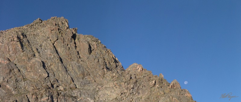
The moon was in sharp contrast with the rock here…

Here’s a closer zoomed in view of the moon and cliff:
After some fun class 2+ climbing up, I reached the top of PT 13,373 and took some time to get a full view of my surroundings – 360 degrees worth:

You can really see how far I have climbed now – the shelter is just a small dot in the distance. This shot shows the route pretty nicely – with where I came from to the right and where I was heading to the left:

Check out how far away the shelter looked, zoomed in:

Well, time to head on over to the next goal – a ranked centennial – Holy Cross Ridge. Apparently my dad climbed Holy Cross via Holy Cross Ridge, and he did it via Tuhare lake, seen in this pano of Holy Cross Ridge (far right):
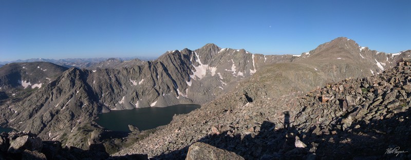
And here… with Holy Cross in view at far right and lower Tuhare lake at far left:

On the way over to the Holy Cross Ridge, I was able to get some really cool views of both Lake Tuhare on my left (south) and the Bowl of Tears to my right (north). This is one my favorite shots because you can see my shadow and I look super crazy, plus you can see both valleys (Holy Cross Ridge right down the middle):
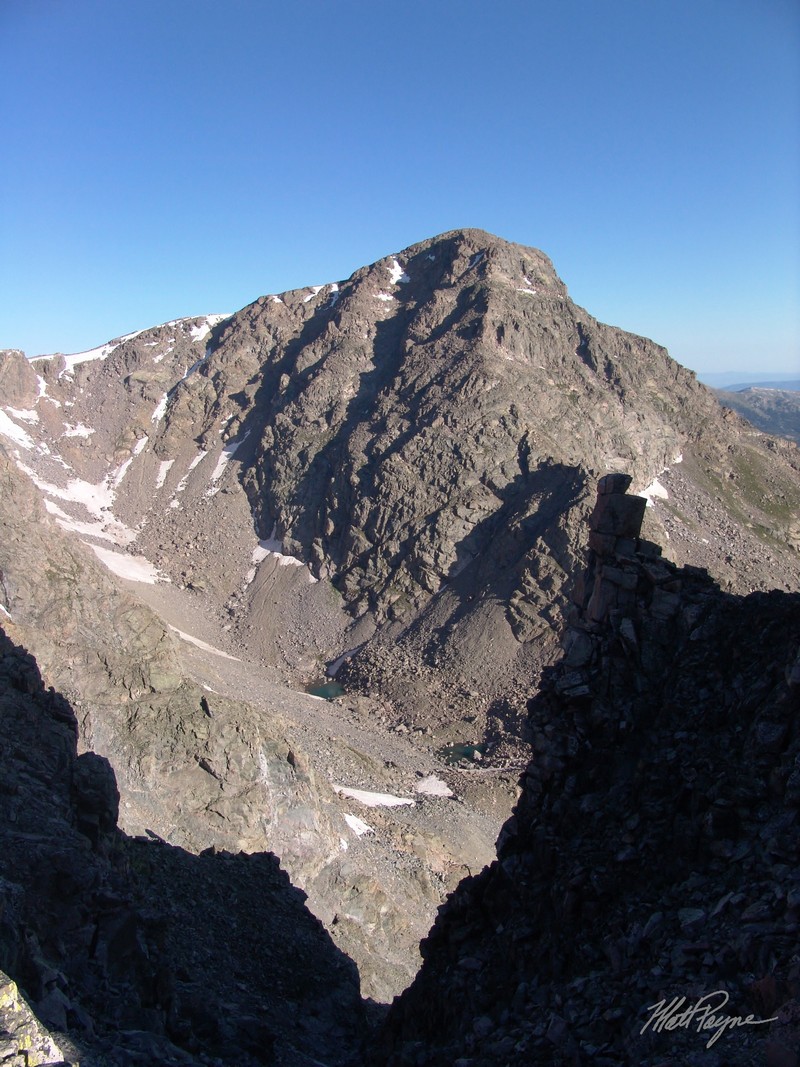
And just because the view from here was so awesome, here’s another shot… :-)

And a look back at the Bowl of Tears and the Notch Mountain Shelter above it:
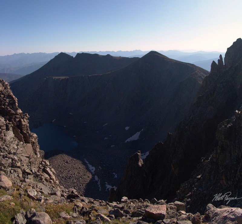
After making it across the long boulder field leading to Holy Cross Ridge (which would later prove to be the hardest part of the climb due to numerous false summits), I took one last set of shots of the Tuhare lakes and, much to my excitement, the Maroon Bells, Snowmass Mountain, and Capitol Peak in the far distance.

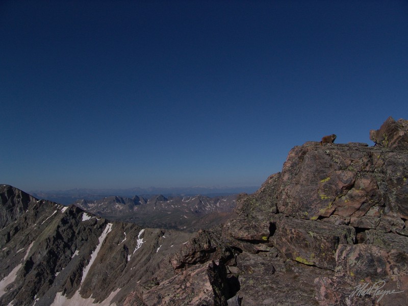
Man, the Maroon Bells are some of the coolest mountains I’ve ever laid eyes on, and Snowmass and Capitol are just ridiculous looking. Here’s a zoomed in view of them. The ‘Bells’ are left of center, and Snowmass is right of center with Capitol at right of Snowmass looking like a sore thumb sticking up. Truly – seeing the Elk Range pretty much made my summer. As I approached the very top of Holy Cross Ridge, I saw the first living being since the night before: a marmot guarding the boulders:
Once I reached the top to Holy Cross Ridge, I basked in the insane view. The valley on the other side (west) of Holy Cross and Holy Cross Ridge was really cool – full of lakes and waterfalls. Here’s a 360 view from the top of the 91st highest mountain in Colorado:

The really cool part of being on the Holy Cross Ridge for me was seeing where I had came from and being so close to my final destination. This pano shows the route, starting at the shelter and ending at Holy Cross:
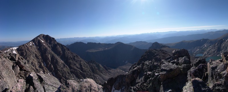
From Holy Cross Ridge, Mount of the Holy Cross was just one hour away, a quick boulder scramble down and then up. I started down, following the crest of the ridge (no trails) and up Holy Cross. I finally saw people… seeing other people motivated me to move even faster, because I thought they were the first people to hit the summit block for the day, and I wanted to beat them :-)~
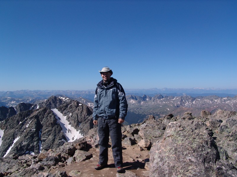
I did end up beating them, but there were already others on top – oh well. Most people climb Holy Cross via the Halfmoon Pass trailhead, which is totally beyond me because going that way completely robs you of the spectacular view of the Cross Couloir from the Notch Mountain shelter. I hit the summit at 10:30 AM, which means it took me 7 hours from the trailhead. Anyways, I had a nice young lady take a few shots of me on top and then it was off to take some pano shots!Look at all the people!

From the top of Holy Cross, there is a small point jutting to the east. I took a quick walk over there in order to get some photos of the entire route I was on for the day. Here it is! The 2nd photo shows the actual route I took.

And the route outlined in black:

That photo really shows the length of the day and was a rather proud moment for me. It felt great to be able to accomplish that, thinking back to May for my 1st climb this year, Shavano, and how tired I was just after a few miles. Ha-ha – looking back I realize now how much better I am now at using my camera too! Apparently the more you use it, the better… imagine that! After spending some time on top, I made the decision to return back the way I came. Apparently this route down is 1.5 miles further than the standard route but less overall elevation gain (remember, I had to go back over all three of the 13’ers again to get down).
After a beautiful day of hiking back over the 13’ers, I made it to the shelter at about 2 PM. Here’s a self-timer shot of me from there.
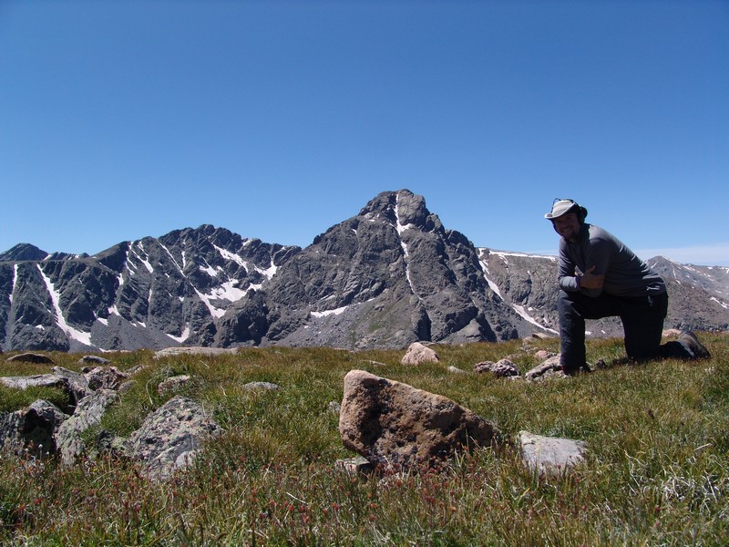
I rested and refueled at the shelter and had a short but pleasant conversation with a family that was also from Colorado Springs who were on a day-hike to the shelter. I started back down the trail (it was nice to be back on a trail after 8 hours of no-trail hiking) towards the trailhead.
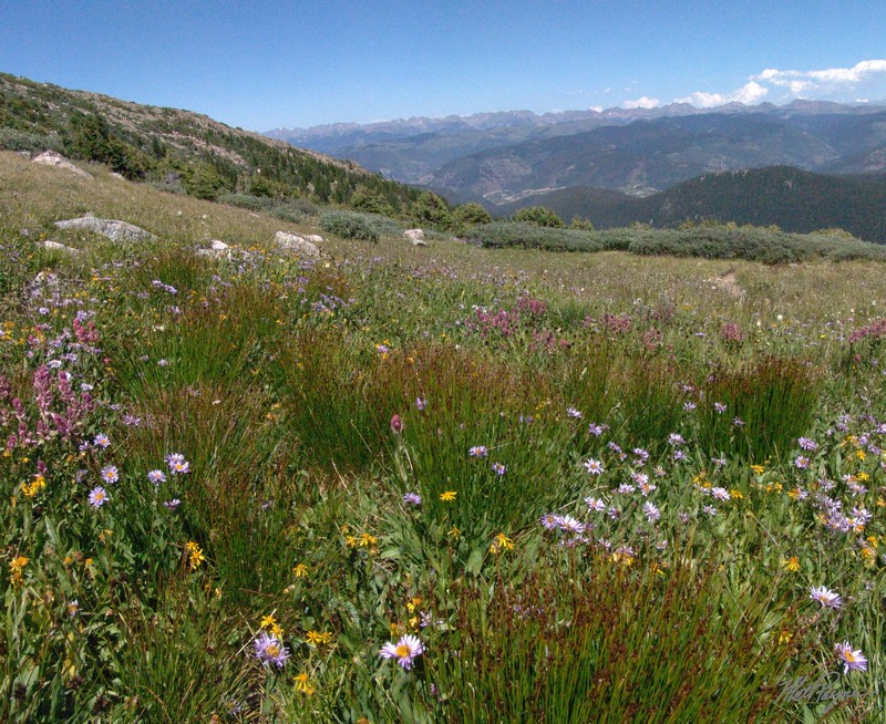
After reaching the trailhead at 4 PM, I headed to Buena Vista and stopped in at Panchos for a burrito before the long drive back to Colorado Springs.


