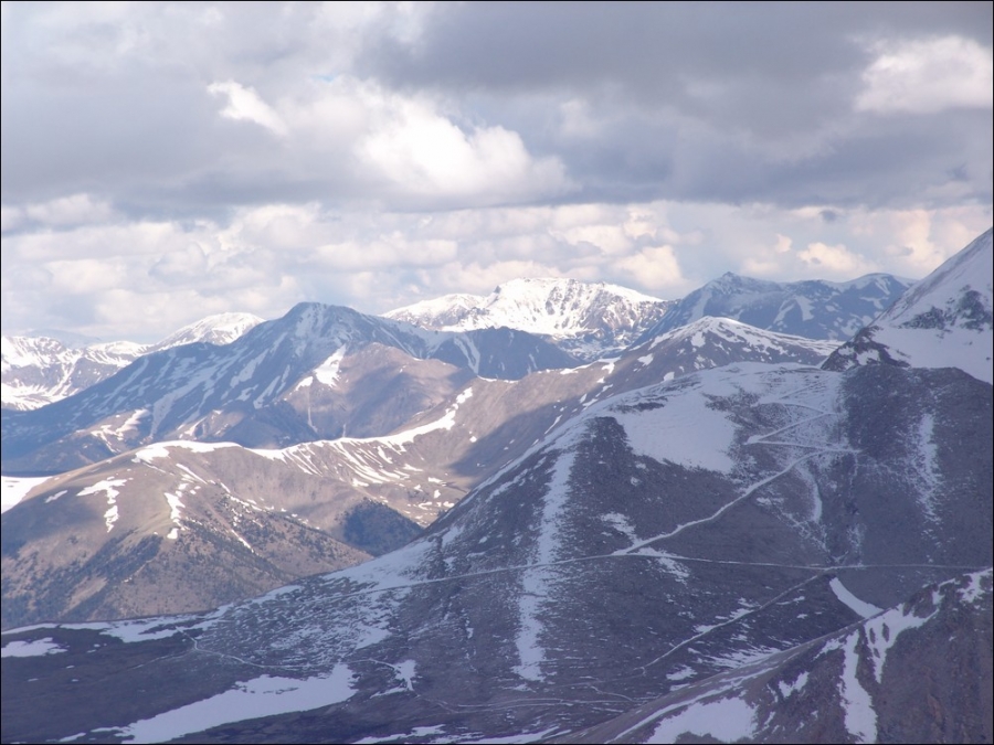
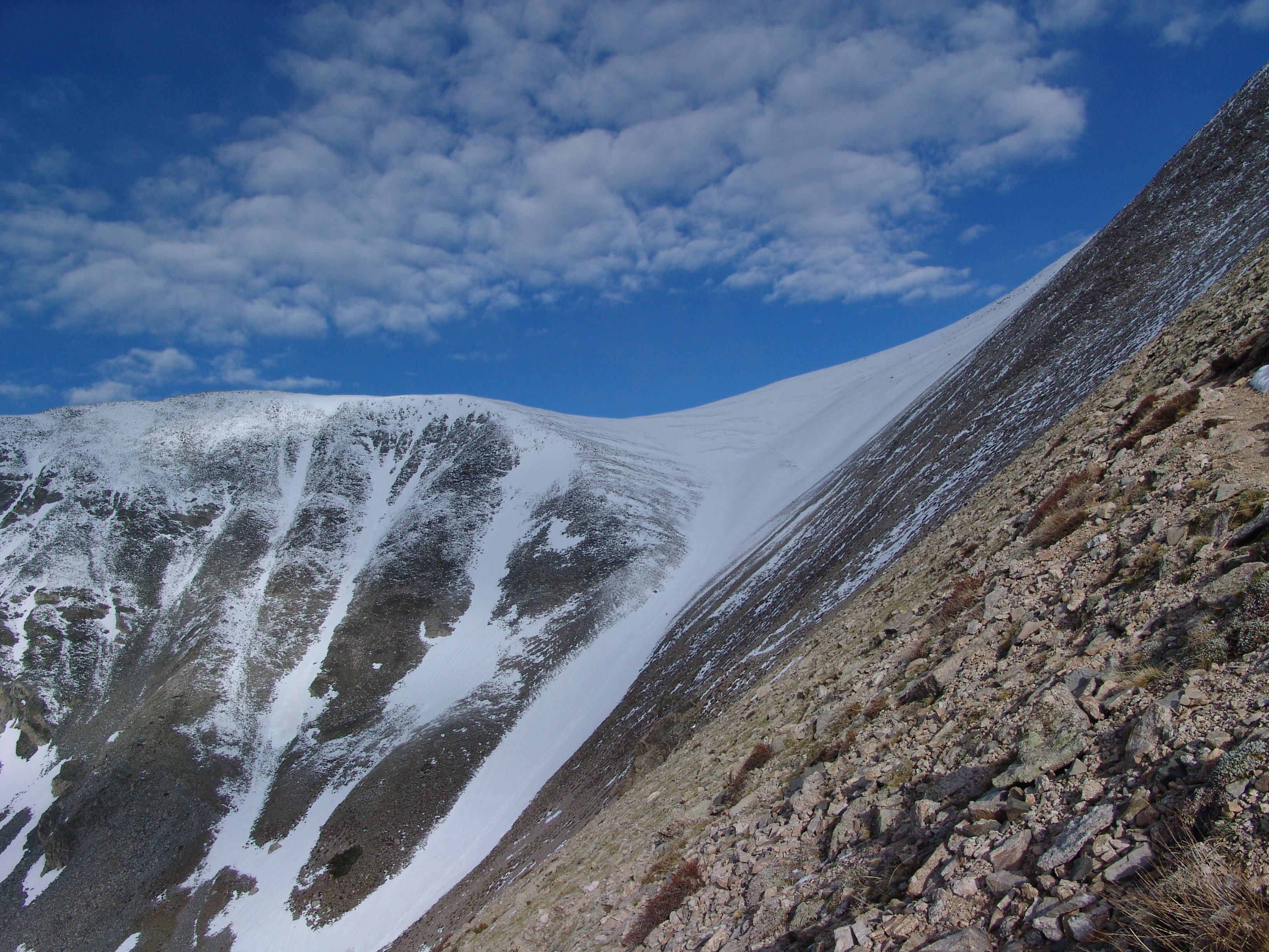
My goal for my first 14'er of 2010 was to summit Mount Shavano (14,229 ft) and then traverse over to Tabeguache Peak (14,155 ft). I had made this attempt last year at the end of May and was able to make it to the top of Shavano but was pushed off the summit by weather, subsequently postponing my summit of Tabeguache. Last year, I climbed the standard route of Shavano, which was a good adventure; however, I wanted to attempt the Angel route this time. Having watched several people ascent via this route last year, I was both intrigued and puzzled as to why someone would put themselves through this much torture. Then after a summer of climbing harder climbs, I figured out why - the challenge and diversity of a new route and the fun of going up a snowfield with an ice axe! Here are two photos from last year's climb, looking down at the Angel route:
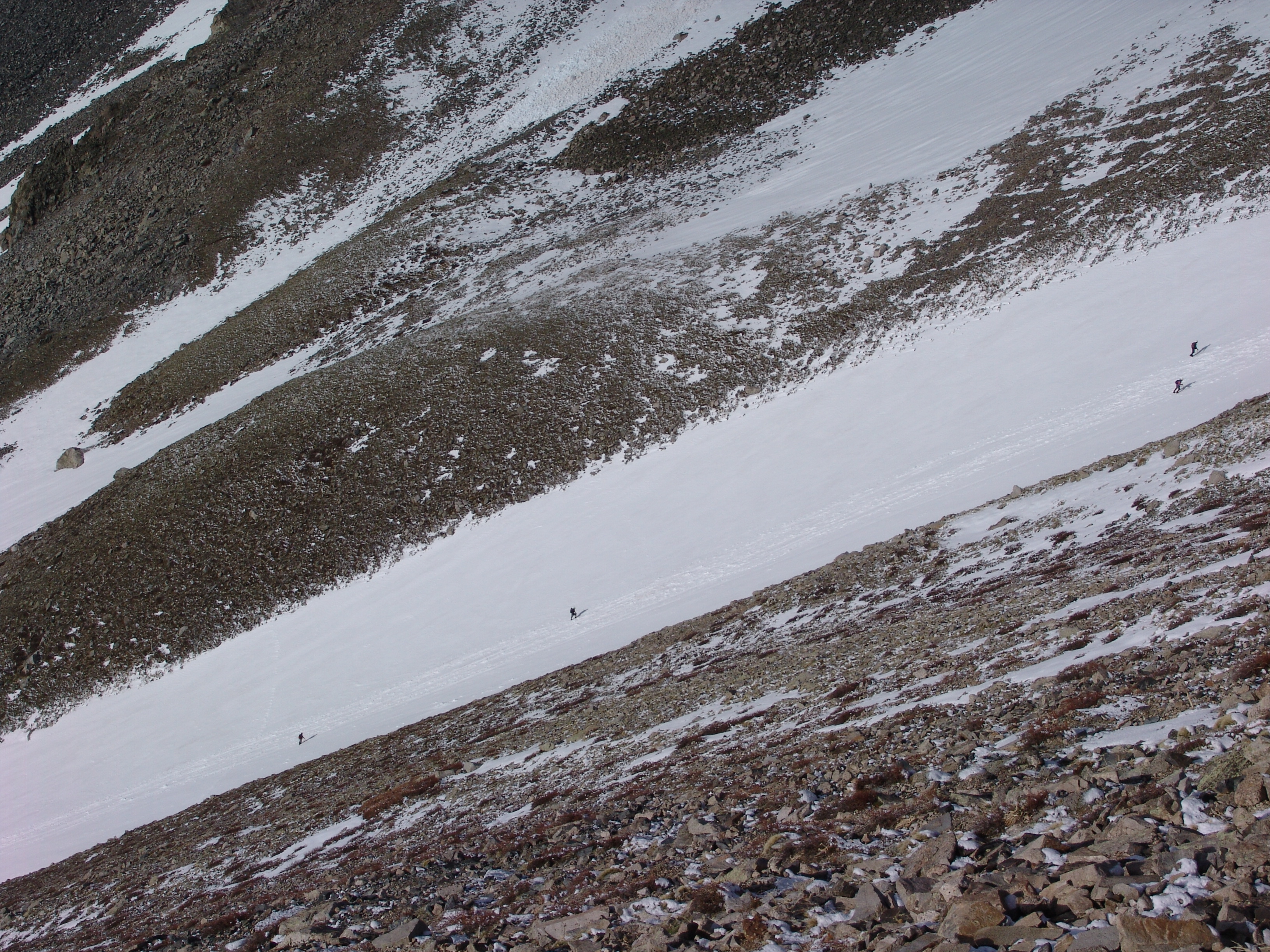
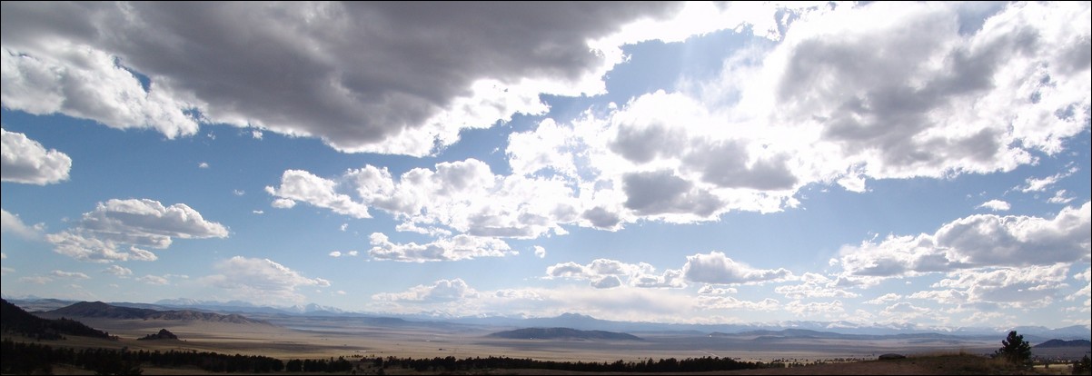
My adventure began by driving from Colorado Springs to the Trailhead on Friday, May 21st, 2010. First, let me apologize, I believe that my camera's sensor needs to be cleaned, as many of my images have a slight smudge that is in the middle near the top. Having created this website since last year, I decided that on my way over that I would get a few photos of the Sawatch and Mosquito/Tenmile range from the top of Wilkerson Pass. Fortunately, the weather did cooperate for a few great photo opportunities: 

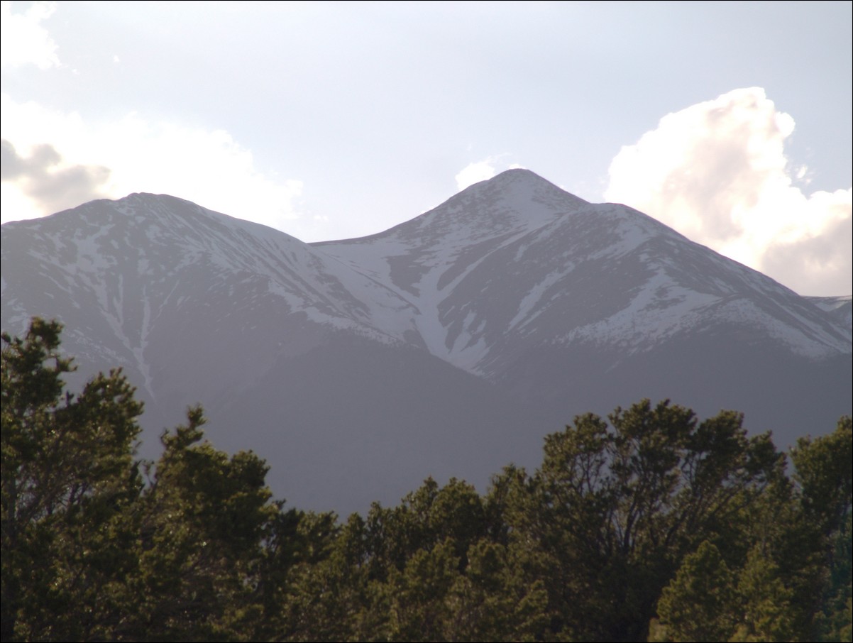
After a quick drive through South Park, I made it to the turn-off for the Trailhead near Salida. Near the beginning of the road, I took the time to take some photos of Shavano. The Angel was looking great!
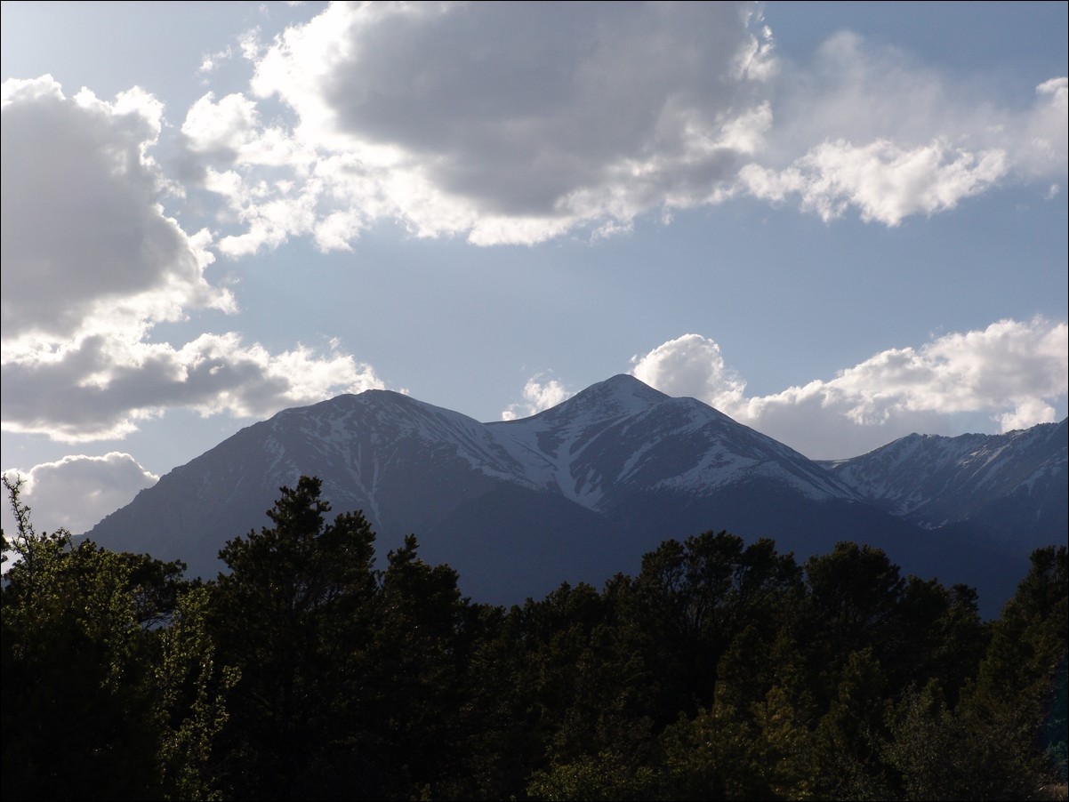
I even played around a little with some bracketing on my camera for this so-so HDR product:
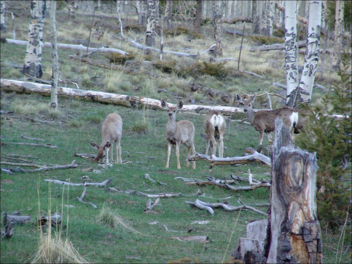
The road was in great shape and it seemed as if there were far less cars this time around. Heck, there were even some deer hanging out!
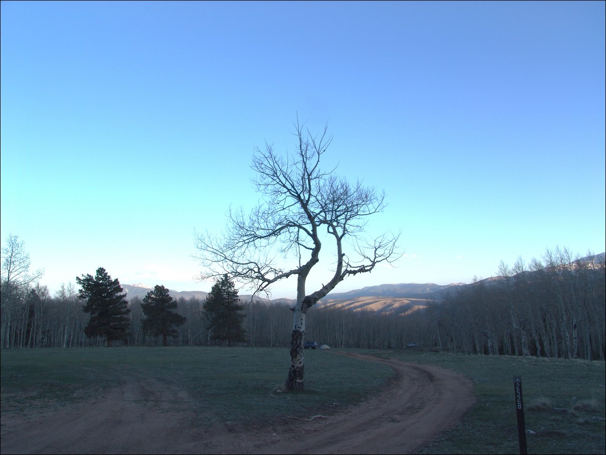
I decided to drive up the road a-ways to check-out the camping areas. I was pleasantly surprised to find quite a few spots to camp and decided on a spot at the end of a huge meadow. Here is my sad attempt at an HDR photo of that meadow. I really like the way the tree turned out. You can see my vehicle in the far distance on the right:
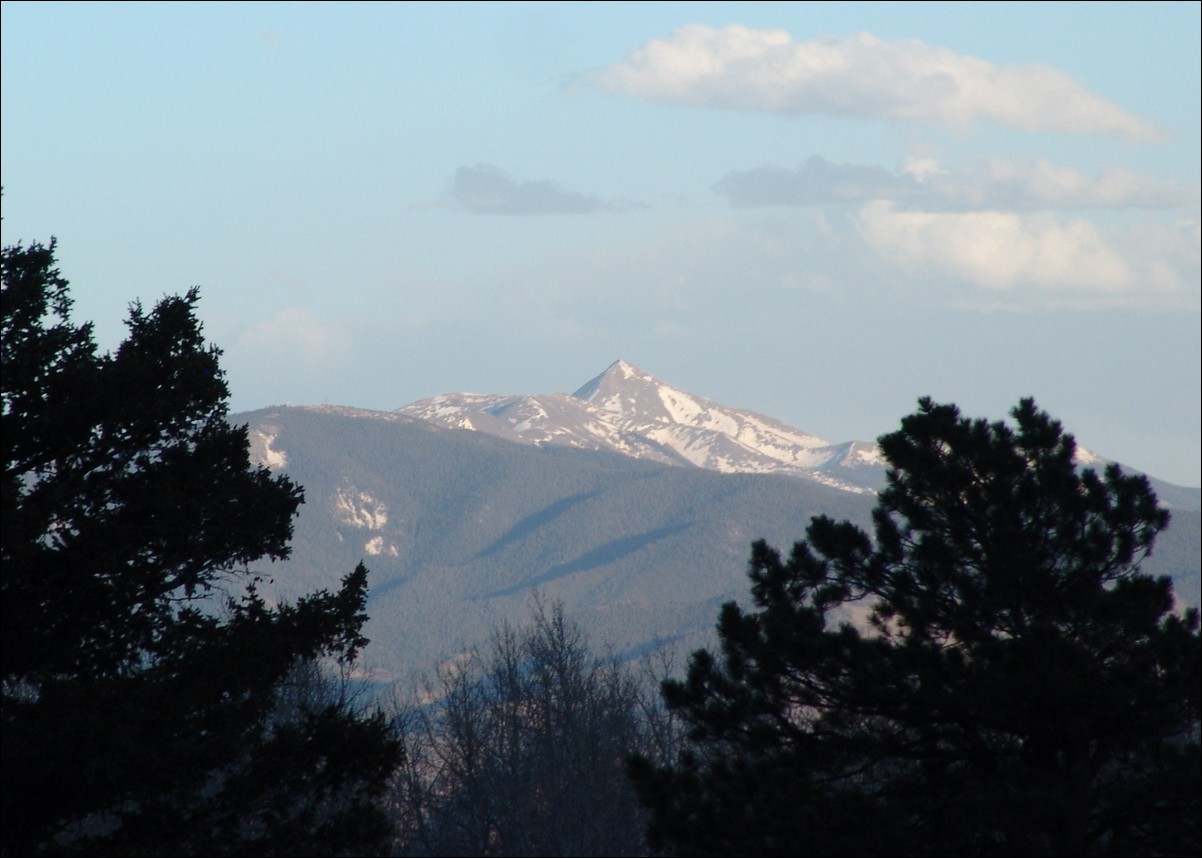
Since I had some time to kill, I decided to take a few photos of the surrounding area. Hunts Peak:
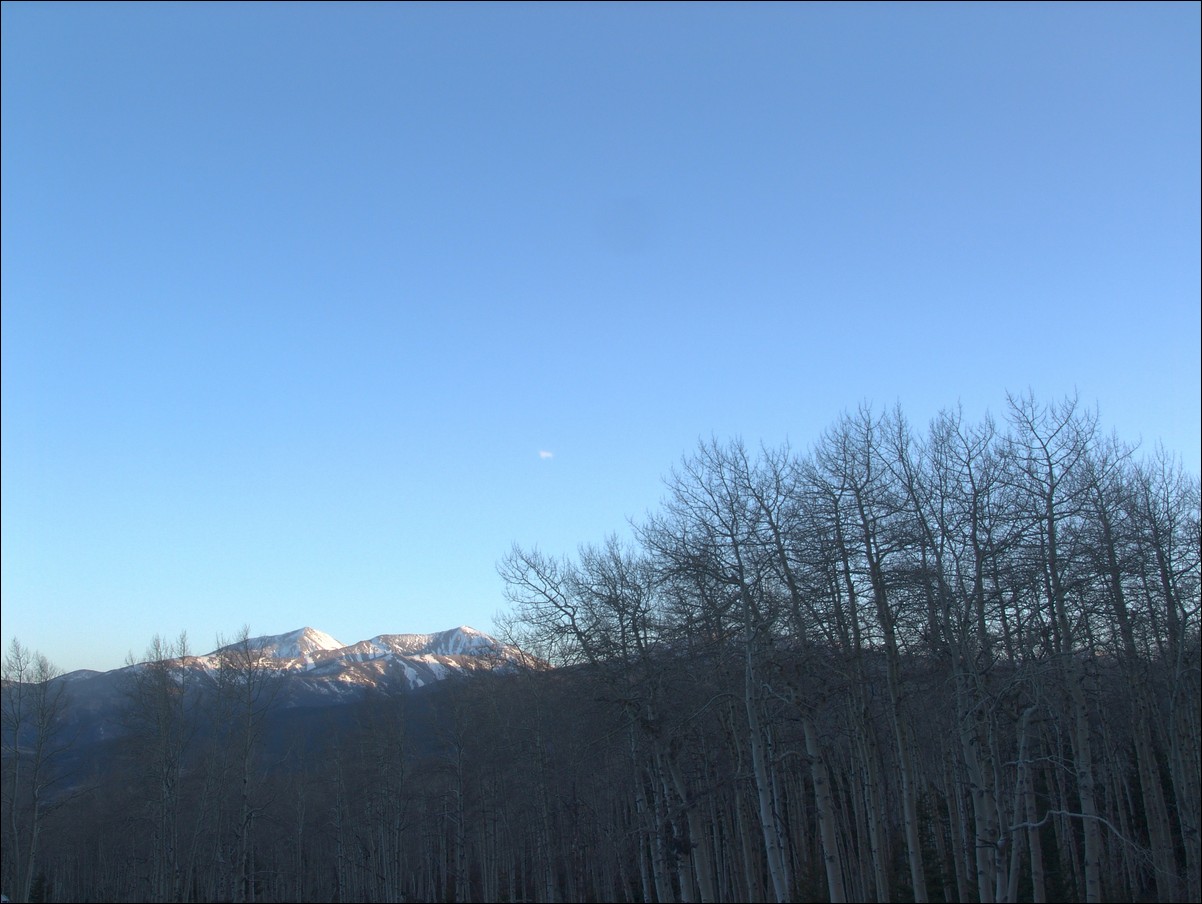
Hunts Peak and surrounding area:

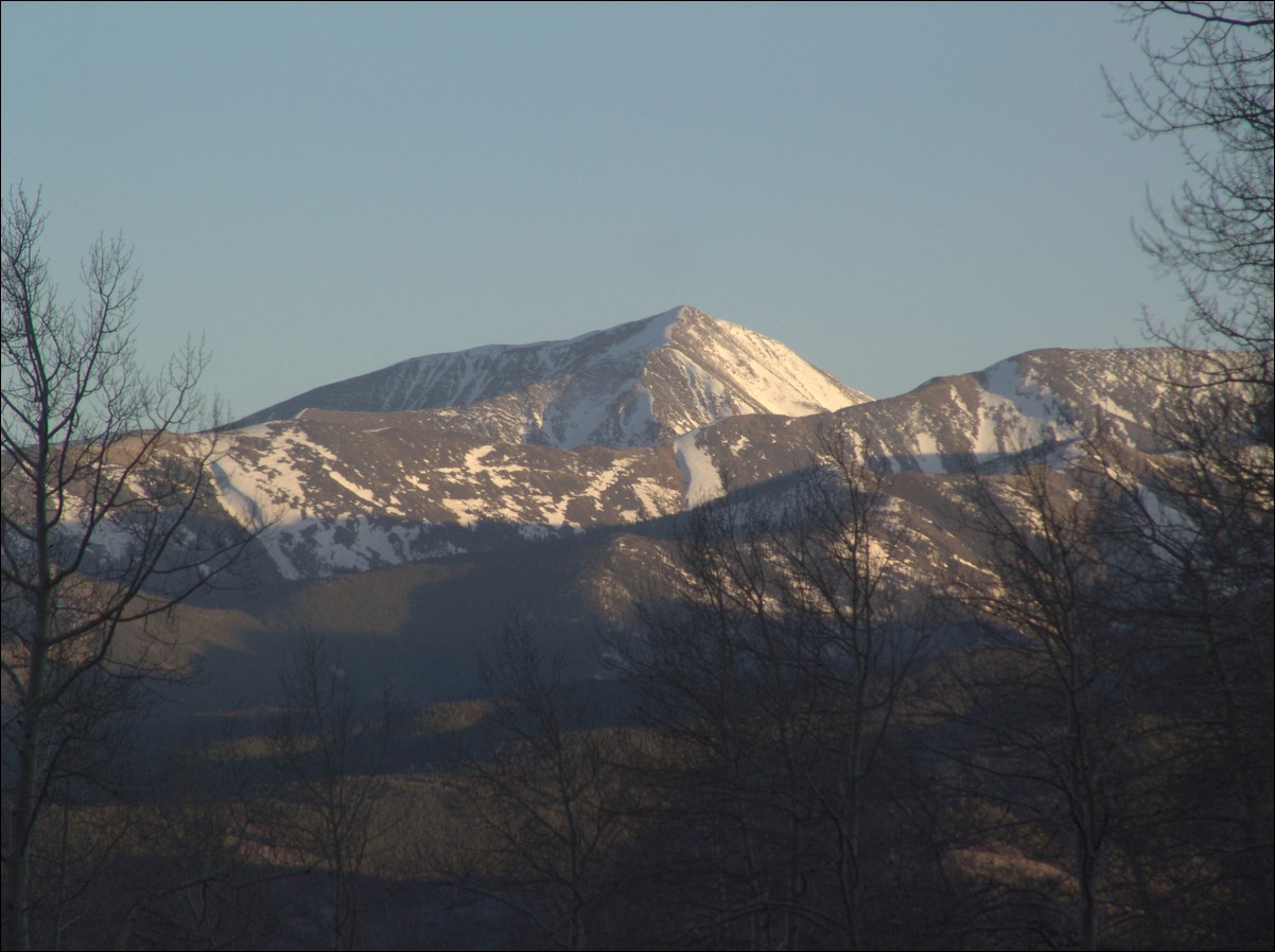
Mount Shavano is the little bump in the middle:
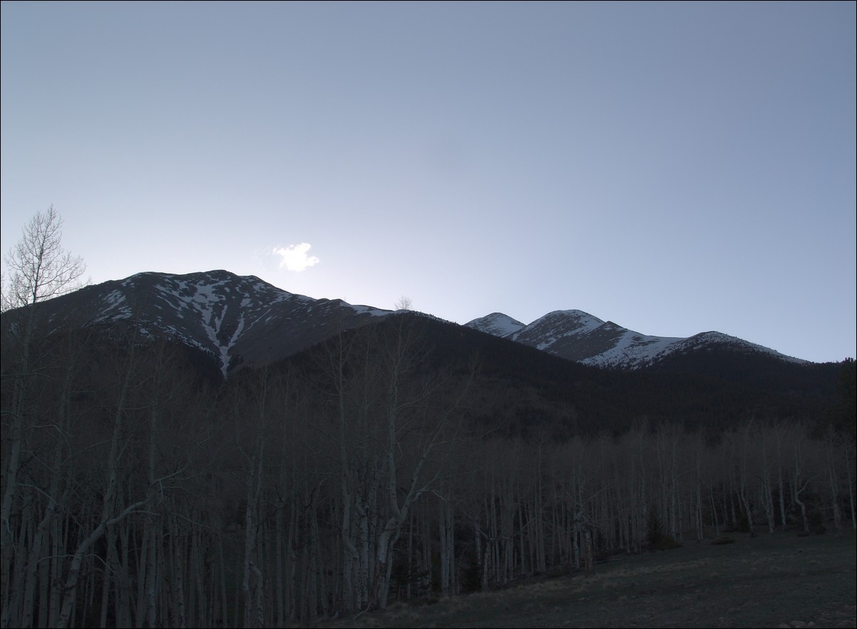
I decided to hit the sack early and sleep with the rainfly off of the tent. This proved to be a great idea because the sky was clear and the stars were bright and numerous! I set the alarm for 4 AM, since I wanted to get up, cook breakfast, and pack my tent before hitting the trail. The alarm sounded and I woke up and fired up some water and ate some pretty decent oatmeal from Costco. I packed up and drove the very short distance back to the trailhead and was on the trail by 5:15 AM. The parking lot was still surprisingly empty except for two other vehicles. I soon was feeling the negative effects of packing so heavily - I had brought my snowshoes, ice axe, trekking poles, crampons, water, lots of food, and warmer clothes. The trail was as steep as I remembered and the snow was showing up on the trail far sooner than my trip last year. Before long, snow drifts blocked the trail in several places. Fortunately, the snow had hardened from the previous day and was passable without the use of snowshoes. I followed the trail until it began to become harder and harder to follow. I made sure to follow other climbers up the valley and towards what I knew was the Angel. Instead of heading North along the standard trail, I kept South and ended up at the start of the large boulder field before the Angel begins. As I climbed to the top of the boulder field, the Angel came into view and I was able to really see the challenge for the day. The Angel route takes you directly up the center of the Angel and then up the right arm or straight up, depending on the snow and your preference.
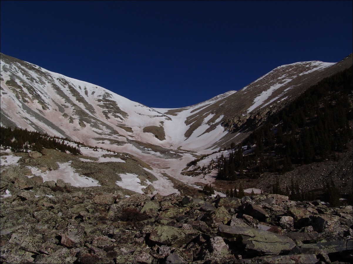
I kept heading up and soon was greeted by the nasty wind that was forecast for this weekend - up to 60 MPH gusts of wind. Oh joy! As I continued up the boulders and snow fields, I was finally able to reach the base of the Angel, where I decided to put away the trekking poles and get out the ice axe. I use an old Chouinard ice axe that was passed down to me by my dad (Old Climber on this site). The reasoning for the use of an axe while going up the Angel is two-fold: 1) For self-arrest if I were to slip and 2) Aid in climbing. A few skiers and snowboarders were ahead of me, making it somewhat easier to follow their footsteps instead of creating my own steps in the snow.
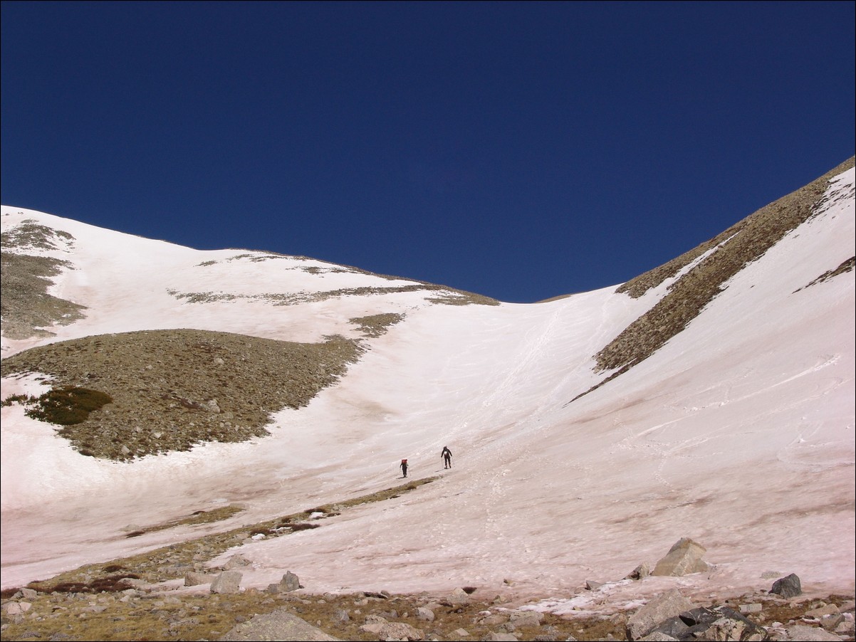
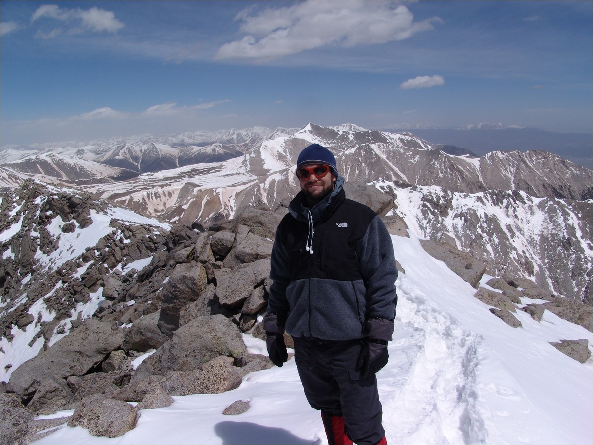
I quickly discovered that crampons were not needed, so that was somewhat of a bummer realizing that I had lugged them up there for no reason. I was beginning to think the same about my snowshoes, but they actually proved quite useful later on. The Angel of Shavano was not a terribly difficult climb, but it was taxxing on my legs and lungs. I was quite aware that this was my first climb of the season. I persevered up the Angel and decided to stay in the middle of the Angel, despite all other groups going to the right or left on the arms of the Angel. What can I say - I'm a rebel. The snow in this part was pretty good and traction was easily gained with my La Sportiva Trango boots. The hardest part of this climb was my lack of stamina and the wind. The wind really took a toll on my strength and took every opportunity to sap me of any will I had to continue past Shavano. After hiking for 6 hours, I finally gained the summit and celebrated with two outstanding gentlemen that had skied up and were planning to ski down. One skier identified himself as 'steventraylor' from 14ers.com. They were both very friendly and it was a pleasure sharing the mighty summit of Shavano with them. I explained to both of them about my website and am hopeful that more and more people can take advantage of this platform to post thier reports and photos. The wind had really caused quite a bit of dust to fill the air around the state, and visibility was not as great as I prefer for photography; however, it was still great getting to see all those white-capped mountains! I was able to get Steven to take this summit shot of me, with Mount Antero and the rest of the mighty Sawatch range behind me:
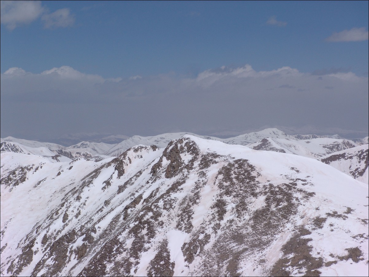
I took a few looks over at Tabeguache and declared that I would not have the energy to make it over. This was quite demoralizing for me since Tabegauche was the whole reason I had done this climb. Tabegauche is now my nemesis and will be conquered in 2011! Here is a shot of Tab:
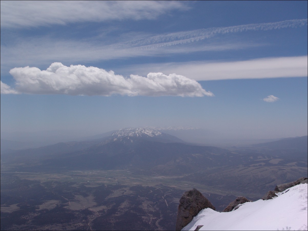
The Sangres shrouded in dust:
And of course I did some fun pano photos:

Here is a zoomed in look of Antero (far right), with Columbia and Harvard to its left: 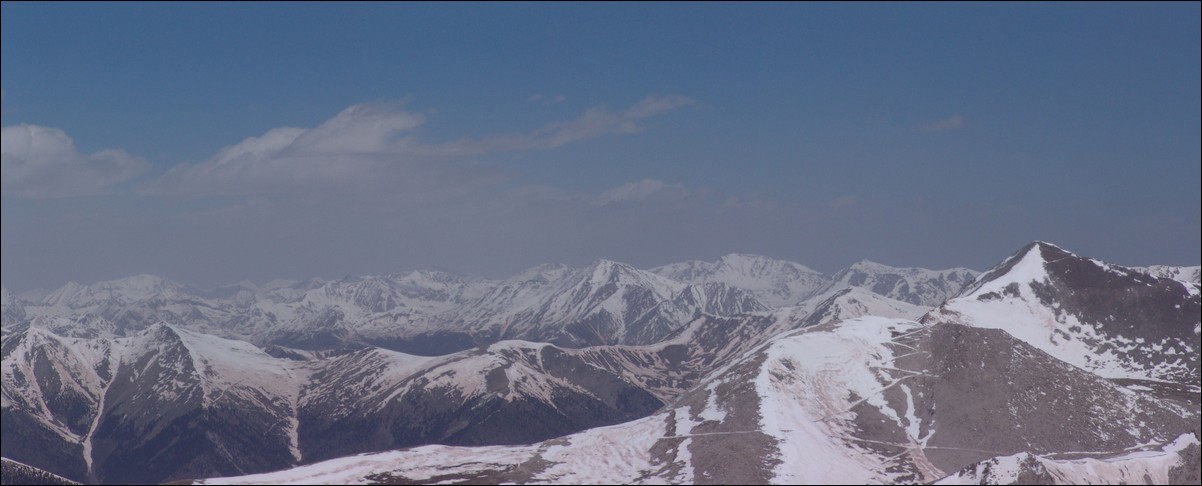
Since I had decided that I was not going to head over to Tabeguache, I spent some time enjoying the views and snacking on some chocolate covered espresso beans. I took a couple more "artsy" photos using my ice axe as a prop:
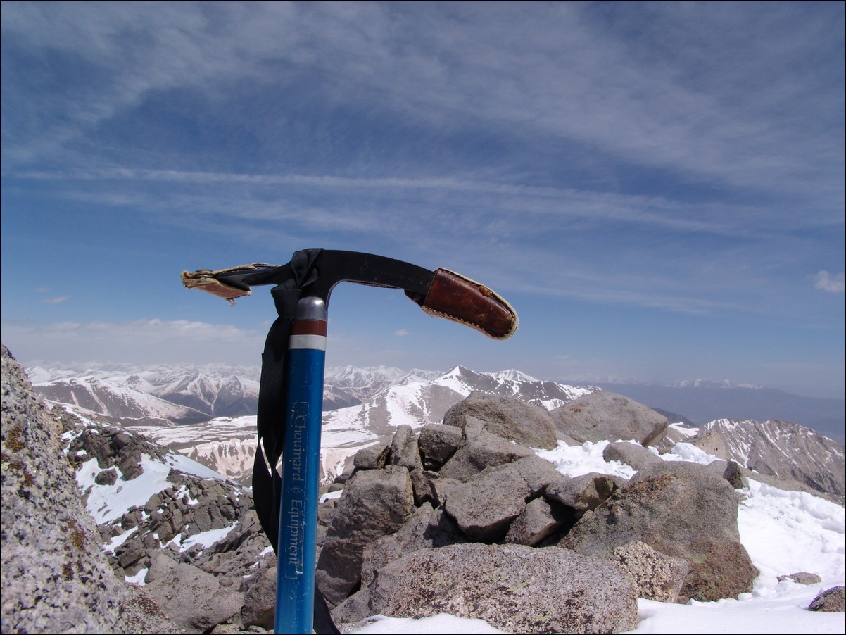
After about an hour, I decided to bug-out and head down. The descent was pretty straight forward; however, being in boots and not skis, the snow proved slippery and was soft, making for some interesting post-holing. I quickly decided that this was a perfect opportunity to test my skills in glissading. I sat on my butt and ensured that my ice axe was securely attached to my wrist. I placed the axe to my right side like a parking break and used it to control my speed going down. I made a quick detour over to the top of Point 13,617 just to say I was on top of it. The wind over there was outrageous! I was only able to take a few photos from there. The first photo is Shavano and the second is Antero:
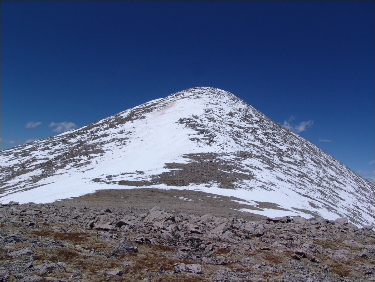
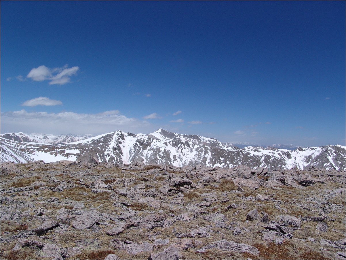
I began glissading again, but the snow was more like ice on the North arm of the Angel, so I foolishly decided to scurry over to the standard trail once I crossed it. The trail looked really clear but this proved false. As I continued on the trail for about 200 yards, the snow fields became un-crossable. The snow had covered the snow and was so soft that it was a post-holing nightmare and a safely concern. I decided that I might as well make use of the snowshoes I had carried all this way and put them on. I wore them and used them to safely cross Shavano's shoulder down to some snow-free areas. I took off the snowshoes and went straight down the mountainside and down into the valley near where the Angel route begins. I followed some tracks back down the valley until I was able to meet up with the main trail again. I would highly recommend that if you ascent via the Angel, you also descent the same way. The snow on the trail coming down was very soft and post-holing was common past your knees. It was not enjoyable to say the least. I concluded my adventure and drove back to Colorado Springs, and hope to tackle Mount Huron in two weeks!


